|
search place name
|
||
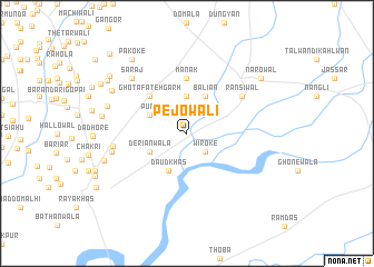
Pejowāli (Punjab, Pakistan)Pejowāli is a town in the Punjab region of Pakistan. An overview map of the region around Pejowāli is displayed below.
regional and 3d topo map of Pejowāli, Pakistan ::
Pejowāli airports ::
The nearest airport is ATQ - Amritsar, located 37.8 km south of Pejowāli.
Other airports nearby include LHE - Lahore Allama Iqbal Intl (70.5 km south west), IXJ - Jammu (70.9 km north), IXP - Pathankot (79.8 km east), LUH - Ludhiaha Ludhiana (170.9 km south east), Nearby towns ::
Wiroke (2.4km south east) //
Dhārīwāl (3.7km north) //
Baliān (4.0km north east) //
Dāud Khās (4.0km south west) //
Deriānwāla (3.6km south west) //
Pung (3.6km north west) //
Ghota Fatehgarh (4.9km north west) //
Mānak (5.6km north) //
Ransiwāl (6.0km north east) //
Sharīfpur (6.4km west) //
Aduki (6.7km west) //
Sarāj (7.3km north west) //
Dharag Miāna (7.4km west) //
Dharāg (7.4km west) //
Walleki (7.7km north west) //
Mujāhid (7.6km west) //
Nārowāl (8.4km north east) //
Pakoke (8.8km north west) //
Dhola (8.6km north west) //
Loban (8.7km north west) //
Buddha (8.8km north west) //
Lāliān (10.4km north west) //
[all distances 'as the bird flies' and approximate] 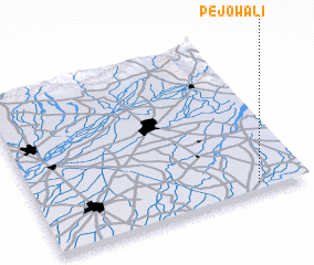
Disclaimer :: Information on this page comes without warranty of any kind |
||
|
Where is Pejowāli? Elevation and coordinates ::
Latitude (lat): 32°3'0"N Longitude (lon): 74°49'0"E
Elevation (approx.): 229m (map arrows pan, magnifying glasses zoom) |
||
|
Visiting Pejowāli? Hotel/Accommodation ::
Book a hotel in Pejowāli Travel Guide ::
Buy a travel guide for Pakistan rental cars ::
car rental offers GPS waypoint ::
download a GPX waypoint (PoI) of Pejowāli for your GPS receiver
|
||