|
search place name
|
||
Qāzi Dera (North-West Frontier, Pakistan)Qāzi Dera is a town in the North-West Frontier region of Pakistan. An overview map of the region around Qāzi Dera is displayed below.
regional and 3d topo map of Qāzi Dera, Pakistan ::

Qāzi Dera airports ::
The nearest airport is PEW - Peshawar Intl, located 147.7 km north east of Qāzi Dera.
Other airports nearby include JAA - Jalalabad (179.2 km north), PZH - Zhob (204.1 km south west), KBL - Kabul Intl (244.7 km north west), Nearby towns ::
Daraki Ālam Shāh Khel (1.0km south west) //
Sardār Singh (1.2km south) //
Abdulla Khān (1.2km north east) //
Nār Hardeo Shāh (1.6km south) //
Nār Abu Samand (1.5km north west) //
Saiyid Khān Sharīf Khel (1.6km north east) //
Sarfrāz Landa (1.7km south west) //
Abbās Khān (1.7km west) //
Langar Maidād Khel (1.7km west) //
Shāhmadu Dau Khel (2.0km north east) //
Sāhibdād Bego Khel (1.7km west) //
Sher Muhammad Kili (2.0km north west) //
Kot Katias (2.1km north west) //
Azīm (2.1km south east) //
Shakhāl Khel (2.2km north east) //
Je Rām Garh (2.2km south west) //
Kalla Khān (2.6km south) //
Saiyidābād (2.2km west) //
Nār Bakhmal Ādmazāi (2.6km south) //
Khān Khel (2.6km south west) //
Gharībābād (2.3km north west) //
Meh Shāh Khel (2.6km north east) //
Kotka Hadāyatullah (2.8km north) //
Foujdār (2.6km north west) //
Jodha (2.6km west) //
Abu Samand Begu Khel (2.7km west) //
Sarāi Naurang (3.0km north west) //
Najīb (3.2km south) //
Muslim Bāgh (2.8km west) //
[all distances 'as the bird flies' and approximate] 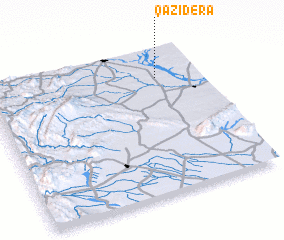 Places with similar names to Qāzi Dera, Pakistan ::
Disclaimer :: Information on this page comes without warranty of any kind |
||
|
Where is Qāzi Dera? Elevation and coordinates ::
Latitude (lat): 32°48'15"N Longitude (lon): 70°48'4"E
Elevation (approx.): 291m (map arrows pan, magnifying glasses zoom) |
||
|
Visiting Qāzi Dera? Hotel/Accommodation ::
Book a hotel in Qāzi Dera Travel Guide ::
Buy a travel guide for Pakistan rental cars ::
car rental offers GPS waypoint ::
download a GPX waypoint (PoI) of Qāzi Dera for your GPS receiver
|
||