|
search place name
|
||
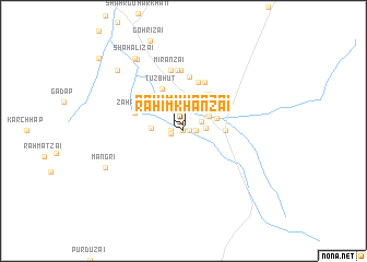
Rahīm Khānzai (Balochistān, Pakistan)Rahīm Khānzai is a town in the Balochistān region of Pakistan. An overview map of the region around Rahīm Khānzai is displayed below.
regional and 3d topo map of Rahīm Khānzai, Pakistan ::
Rahīm Khānzai airports ::
The nearest airport is UET - Quetta, located 105.3 km north of Rahīm Khānzai.
Nearby towns ::
Mitha Khān (0.0km north) //
Bahrāmzai (0.5km east) //
Rahim Khānzai (0.6km north) //
Durgzai (1.1km west) //
Ziārat Mahmud (1.1km east) //
Zakariazai (1.1km west) //
Īsazai (1.9km north east) //
Pirdazai (2.0km east) //
Malangzai (2.7km north east) //
Sāfi Khān (2.8km north east) //
Shahr Sardār (2.8km west) //
Mian Khān (3.2km north east) //
Mangūchar (3.8km east) //
Mand-i-Hāji (4.3km north east) //
Tuz Bhut (4.7km north west) //
Khatizai (5.1km north) //
Zāhrazai (4.7km north west) //
Talkozai (5.3km north) //
Herīzai (5.6km north) //
Bāghizai (6.2km north) //
Jorakzai (6.2km north) //
Mīrānzai (6.3km north) //
Rahm Alīzai (8.4km north west) //
Mangri (7.9km south west) //
Shāh Alīzai (8.6km north west) //
Shahr Sardār (8.6km north west) //
Khurāsāni (10.6km north west) //
[all distances 'as the bird flies' and approximate] 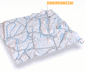 Places with similar names to Rahīm Khānzai, Pakistan ::
// Rahim Khānzai (PK)
Disclaimer :: Information on this page comes without warranty of any kind |
||
|
Where is Rahīm Khānzai? Elevation and coordinates ::
Latitude (lat): 29°21'0"N Longitude (lon): 66°35'40"E
Elevation (approx.): 1749m (map arrows pan, magnifying glasses zoom) |
||
|
Visiting Rahīm Khānzai? Hotel/Accommodation ::
Book a hotel in Rahīm Khānzai Travel Guide ::
Buy a travel guide for Pakistan rental cars ::
car rental offers GPS waypoint ::
download a GPX waypoint (PoI) of Rahīm Khānzai for your GPS receiver
|
||