|
search place name
|
||
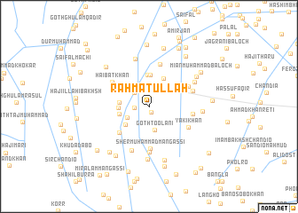
Rahmatullāh (Balochistān, Pakistan)Rahmatullāh is a town in the Balochistān region of Pakistan. An overview map of the region around Rahmatullāh is displayed below.
regional and 3d topo map of Rahmatullāh, Pakistan ::
Rahmatullāh airports ::
The nearest airport is MJD - Moenjodaro, located 71.0 km south east of Rahmatullāh.
Other airports nearby include SKZ - Sukkur (106.9 km east), SUL - Sui (168.1 km north east), WNS - Nawabshah (192.8 km south), Nearby towns ::
Goth Āchar Gidra (0.8km south) //
Āchar Brohi (1.1km north) //
Mīr Ali Hasan Khān (1.6km west) //
Qubba Saida Khān (2.4km north west) //
Goth Toolāni (3.0km south) //
Dur Muhammad Mugheri (2.8km south west) //
Ahmad Nawāz (3.3km west) //
Himmat Ali Khān (3.5km south west) //
Bakhsh Khān Mangassi (3.4km west) //
Āshiq Ali Khān (3.4km west) //
Shāh Beg (3.9km north east) //
Muhammad Amīn (4.0km north) //
Goth Mīr Karam Khān (4.0km north) //
Hāji Mithal Khān (4.6km south west) //
Sher Muhammad Mangassi (5.3km south) //
Muhammad Saddīq (5.4km north) //
Mīr Ghulām Hussain (5.0km north east) //
Haibat Khān (5.1km north west) //
Yāki Khān (5.1km south east) //
Mīr Aitebār Khān (5.0km east) //
Dāya Mal (5.7km south) //
Aitāf Tāmāni (5.3km east) //
Amīr Jān (5.9km south) //
Goth Mīr Karam Khān (6.2km north) //
Ghulām Rasūl (5.9km north east) //
Wassu Mal (6.6km south) //
Faiz Ali Khoso (6.0km east) //
Gul Hassan Mughairi (6.5km north east) //
Goth Pattuja (7.0km south) //
[all distances 'as the bird flies' and approximate] 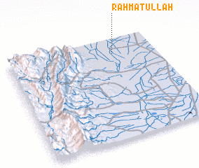 Places with similar names to Rahmatullāh, Pakistan ::
// Rumah Dali (MY)
// Rumah Dulah (MY)
// Rumah Tali (MY)
// Rumah Tila (MY)
// Romedal (NO)
// Ramatale (ZA)
// Ramdolla (BF)
// Ramadilla (CL)
// Ramadala (CD)
// Rumitola (EC)
Disclaimer :: Information on this page comes without warranty of any kind |
||
|
Where is Rahmatullāh? Elevation and coordinates ::
Latitude (lat): 27°51'5"N Longitude (lon): 67°43'0"E
Elevation (approx.): 45m (map arrows pan, magnifying glasses zoom) |
||
|
Visiting Rahmatullāh? Hotel/Accommodation ::
Book a hotel in Rahmatullāh Travel Guide ::
Buy a travel guide for Pakistan rental cars ::
car rental offers GPS waypoint ::
download a GPX waypoint (PoI) of Rahmatullāh for your GPS receiver
|
||