|
search place name
|
||
Rasulnagar (Punjab, Pakistan)Rasulnagar is a town in the Punjab region of Pakistan. An overview map of the region around Rasulnagar is displayed below.
regional and 3d topo map of Rasulnagar, Pakistan ::

Rasulnagar airports ::
The nearest airport is MUX - Multan Intl, located 119.9 km west of Rasulnagar.
Other airports nearby include LYP - Faisalabad Intl (140.8 km north), LHE - Lahore Allama Iqbal Intl (227.3 km north east), Nearby towns ::
Chak Four Hundred Fifty-one EB (1.6km north west) //
Mardāni (1.6km south west) //
Rasūlnagar (2.0km south west) //
Jandwāla (2.2km north) //
Gharībābād (2.7km north) //
Chak Four Hundred Thirty-nine EB (2.8km north) //
Kotli Arhīān (2.7km east) //
Rados (2.7km west) //
Siālpara (2.7km east) //
Mandi Būrewāla (3.3km north east) //
Kot Qutabpur (3.3km south west) //
Ināyatwāli (3.7km north) //
Alīpur (3.7km south) //
Chak Four Hundred Sixty-five (3.9km south east) //
Kot Ghulām Hasan (3.9km north east) //
Chak Four Hundred Thirty-five EB (4.5km north) //
Būrewāla (4.5km north) //
Sabaz Pīr (4.0km east) //
Tarkhānānwāla (4.6km north) //
Hāfiz Shekhūpura (4.5km north west) //
Bismillāpur (4.9km north) //
Nawān Pind Alāīān (5.0km south) //
Azīmābād (5.2km north east) //
Kuta (4.9km north west) //
Chak Four Hundred Seventy-three EB (5.3km south west) //
Chak Four Hundred Thirty-five EB (5.9km north east) //
Jamālpur (6.2km south) //
Chak Four Hundred Forty-three EB (5.7km north east) //
Chak Four Hundred Seventy-three EB (6.1km south west) //
[all distances 'as the bird flies' and approximate] 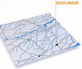 Places with similar names to Rasulnagar, Pakistan ::
// Rasūl Nagar (PK)
// Rasūlnagar (PK)
// Rasūlnagar (PK)
// Rasūlnagar (PK)
// Rasūlnagar (PK)
// Rasūlnagar (PK)
// Rasūlnagar (PK)
Disclaimer :: Information on this page comes without warranty of any kind |
||
|
Where is Rasulnagar? Elevation and coordinates ::
Latitude (lat): 30°7'40"N Longitude (lon): 72°39'40"E
Elevation (approx.): 146m (map arrows pan, magnifying glasses zoom) |
||
|
Visiting Rasulnagar? Hotel/Accommodation ::
Book a hotel in Rasulnagar Travel Guide ::
Buy a travel guide for Pakistan rental cars ::
car rental offers GPS waypoint ::
download a GPX waypoint (PoI) of Rasulnagar for your GPS receiver
|
||