|
search place name
|
||
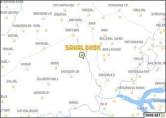
Sawāl Dhok (Punjab, Pakistan)Sawāl Dhok is a town in the Punjab region of Pakistan. An overview map of the region around Sawāl Dhok is displayed below.
regional and 3d topo map of Sawāl Dhok, Pakistan ::
Sawāl Dhok airports ::
The nearest airport is ISB - Islamabad Chaklala, located 62.4 km north east of Sawāl Dhok.
Other airports nearby include PEW - Peshawar Intl (126.6 km north west), RAZ - Rawala Kot Rawalakot (130.9 km north east), MFG - Muzaffarabad (147.0 km north east), SDT - Saidu Sharif (172.4 km north), Nearby towns ::
Kamliāl (2.0km north) //
Dhok Ganji Mori (4.0km east) //
Dhok Gujar (4.0km east) //
Dhok Ganja (4.6km south west) //
Qāzi Dhok (4.9km north east) //
Nautheh (5.7km north) //
Taplāwāla Dhok (4.9km east) //
Bora (5.6km west) //
Malhuwāla (6.7km south east) //
Bhīr (7.2km north) //
Gandākas (6.6km south east) //
Māri (6.8km north east) //
Bulewāli Dhok (6.5km north east) //
Sakhwāl (7.8km north) //
Gujaranwāli (8.7km south west) //
Harniāli (9.4km south east) //
Dhok Shakra (9.5km north west) //
[all distances 'as the bird flies' and approximate] 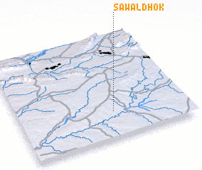 Places with similar names to Sawāl Dhok, Pakistan :: Disclaimer :: Information on this page comes without warranty of any kind |
||
|
Where is Sawāl Dhok? Elevation and coordinates ::
Latitude (lat): 33°16'13"N Longitude (lon): 72°34'11"E
Elevation (approx.): 446m (map arrows pan, magnifying glasses zoom) |
||
|
Visiting Sawāl Dhok? Hotel/Accommodation ::
Book a hotel in Sawāl Dhok Travel Guide ::
Buy a travel guide for Pakistan rental cars ::
car rental offers GPS waypoint ::
download a GPX waypoint (PoI) of Sawāl Dhok for your GPS receiver
|
||