|
search place name
|
||
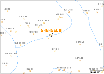
Sheh Sechi (Balochistān, Pakistan)Sheh Sechi is a town in the Balochistān region of Pakistan. An overview map of the region around Sheh Sechi is displayed below.
regional and 3d topo map of Sheh Sechi, Pakistan ::
Sheh Sechi airports ::
The nearest airport is GWD - Gwadar, located 64.8 km south of Sheh Sechi.
Other airports nearby include TRB - Turbo Turbat Intl (68.4 km east), PSI - Pasni (113.7 km south east), ZBR - Chah Bahar (204.3 km west), PJG - Panjgur (216.1 km north east), Nearby towns ::
Pīrotak (1.2km south west) //
Karkak (5.4km south) //
Mach Chāt (5.7km north west) //
Jangal (5.6km north west) //
Ţath (6.7km north) //
Pirotak (6.1km west) //
Darjkū (7.8km north) //
Drachko (7.8km north east) //
Tuluy (8.3km north west) //
Tālui (8.8km north west) //
[all distances 'as the bird flies' and approximate] 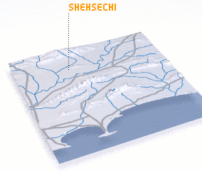 Places with similar names to Sheh Sechi, Pakistan ::
// Hsia-hsi-chou (TW)
// Hsia-hsi-chou (TW)
// Chiu-hsi-chou (TW)
// Hsia-hsi-chou (TW)
// Hsia-hsi-chou (TW)
// Shih-ssu-chia (TW)
Disclaimer :: Information on this page comes without warranty of any kind |
||
|
Where is Sheh Sechi? Elevation and coordinates ::
Latitude (lat): 25°49'1"N Longitude (lon): 62°22'26"E
Elevation (approx.): 52m (map arrows pan, magnifying glasses zoom) |
||
|
Visiting Sheh Sechi? Hotel/Accommodation ::
Book a hotel in Sheh Sechi Travel Guide ::
Buy a travel guide for Pakistan rental cars ::
car rental offers GPS waypoint ::
download a GPX waypoint (PoI) of Sheh Sechi for your GPS receiver
|
||