|
search place name
|
||
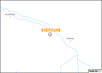
Sher Kumb (Balochistān, Pakistan)Sher Kumb is a town in the Balochistān region of Pakistan. An overview map of the region around Sher Kumb is displayed below.
regional and 3d topo map of Sher Kumb, Pakistan ::
Sher Kumb airports ::
The nearest airport is PJG - Panjgur, located 101.4 km south east of Sher Kumb.
Other airports nearby include TRB - Turbo Turbat Intl (212.7 km south), Nearby towns ::
Miānrūd (6.5km east) //
[all distances 'as the bird flies' and approximate]  Places with similar names to Sher Kumb, Pakistan ::
// Chīr Qūymeh (IR)
// Chirrequim (GT)
// Cheragum (PG)
// Charcoma (BO)
// Shirakami (JP)
// Chiriquima (AO)
Disclaimer :: Information on this page comes without warranty of any kind |
||
|
Where is Sher Kumb? Elevation and coordinates ::
Latitude (lat): 27°47'54"N Longitude (lon): 63°44'10"E
Elevation (approx.): 554m (map arrows pan, magnifying glasses zoom) |
||
|
Visiting Sher Kumb? Hotel/Accommodation ::
Book a hotel in Sher Kumb Travel Guide ::
Buy a travel guide for Pakistan rental cars ::
car rental offers GPS waypoint ::
download a GPX waypoint (PoI) of Sher Kumb for your GPS receiver
|
||