|
search place name
|
||
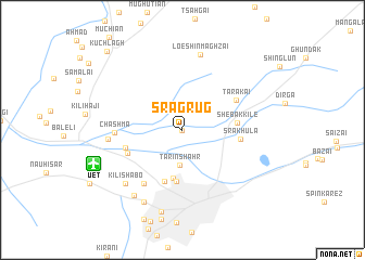
Sra Grug (Balochistān, Pakistan)Sra Grug is a town in the Balochistān region of Pakistan. An overview map of the region around Sra Grug is displayed below.
regional and 3d topo map of Sra Grug, Pakistan ::
Sra Grug airports ::
The nearest airport is UET - Quetta, located 8.6 km south west of Sra Grug.
Other airports nearby include KDH - Kandahar (175.8 km north west), Nearby towns ::
Sra Gurg (0.1km south) //
Tarīn Shahr (3.6km south) //
Kotwāl Khānān (5.0km south) //
Nawangaon (5.3km south) //
Kotwāl (5.5km south) //
Shebak Kile (4.9km east) //
Sra Khula (5.2km east) //
Goth Almas (5.4km south west) //
Shaikh Mānda (5.4km west) //
Tarakai (5.7km north east) //
Kili Gul Muhammad (6.6km south west) //
Chashma (6.1km west) //
Shaikh Ali Kārez (6.6km west) //
Loe Shīn Maghzai (7.9km north) //
Kile Malik Muhammad Jān (7.5km south west) //
Kili Shābo (7.5km south west) //
Kili Sultān (8.0km south west) //
Hudda (8.2km south west) //
Habīb Kili (8.6km south) //
Kuchlāgh (10.5km north west) //
[all distances 'as the bird flies' and approximate] 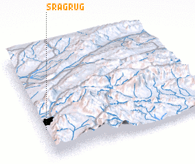 Places with similar names to Sra Grug, Pakistan ::
// Širokarica (BA)
// Sarıcaerik (TR)
// Surukraik (TP)
// Sargargay (KZ)
// Sar Kūrakī (IR)
// Sar Kūrakī (IR)
// Sra Gurg (PK)
// Surocraic (TP)
// Surocraic (TP)
// Sarcarca (BO)
Disclaimer :: Information on this page comes without warranty of any kind |
||
|
Where is Sra Grug? Elevation and coordinates ::
Latitude (lat): 30°17'0"N Longitude (lon): 67°1'10"E
Elevation (approx.): 1670m (map arrows pan, magnifying glasses zoom) |
||
|
Visiting Sra Grug? Hotel/Accommodation ::
Book a hotel in Sra Grug Travel Guide ::
Buy a travel guide for Pakistan rental cars ::
car rental offers GPS waypoint ::
download a GPX waypoint (PoI) of Sra Grug for your GPS receiver
|
||