|
search place name
|
||
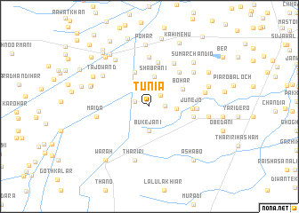
Tunia (Sind, Pakistan)Tunia is a town in the Sind region of Pakistan. An overview map of the region around Tunia is displayed below.
regional and 3d topo map of Tunia, Pakistan ::
Tunia airports ::
The nearest airport is MJD - Moenjodaro, located 34.9 km south east of Tunia.
Other airports nearby include SKZ - Sukkur (95.8 km east), WNS - Nawabshah (152.8 km south), SUL - Sui (181.1 km north east), Nearby towns ::
Jākar (1.8km west) //
Jakhar (1.8km west) //
Bakhsh Ali (1.9km north east) //
Admān (1.8km east) //
Bukejāni (3.1km south) //
Jat (3.0km east) //
Shābrāni (3.7km north) //
Bohar (4.3km north east) //
Garhi Khair Muhammad (4.6km north) //
Junejo (4.8km east) //
Pingar Goth (5.6km north) //
Thorhi (5.4km north east) //
Kanwar (5.4km north east) //
Lālu Rānwak (5.1km east) //
Dangla (5.4km east) //
Pahwāro (6.2km north) //
Kosa (6.1km north east) //
Maida (6.0km west) //
Tajo Wand (6.5km north west) //
Tharīri (7.0km south) //
Dari (6.6km north east) //
Puna (6.6km north east) //
Khairo Wako (6.4km east) //
Qubba Gul Shāh (7.0km north west) //
Maklāni (6.7km east) //
Darya Khān (7.0km west) //
Pohar (7.7km north) //
Hani (7.0km east) //
Potho (7.0km west) //
[all distances 'as the bird flies' and approximate] 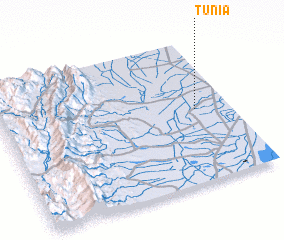 Places with similar names to Tunia, Pakistan ::
Disclaimer :: Information on this page comes without warranty of any kind |
||
|
Where is Tunia? Elevation and coordinates ::
Latitude (lat): 27°30'40"N Longitude (lon): 67°51'0"E
Elevation (approx.): 47m (map arrows pan, magnifying glasses zoom) |
||
|
Visiting Tunia? Hotel/Accommodation ::
Book a hotel in Tunia Travel Guide ::
Buy a travel guide for Pakistan rental cars ::
car rental offers GPS waypoint ::
download a GPX waypoint (PoI) of Tunia for your GPS receiver
|
||