|
search place name
|
||
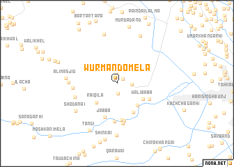
Wurmando Mela (Federally Administered Tribal Areas, Pakistan)Wurmando Mela is a town in the Federally Administered Tribal Areas region of Pakistan. An overview map of the region around Wurmando Mela is displayed below.
regional and 3d topo map of Wurmando Mela, Pakistan ::
Wurmando Mela airports ::
The nearest airport is PEW - Peshawar Intl, located 17.1 km east of Wurmando Mela.
Other airports nearby include JAA - Jalalabad (87.5 km north west), SDT - Saidu Sharif (128.3 km north east), ISB - Islamabad Chaklala (169.6 km east), Nearby towns ::
Wulo Mela (1.0km north east) //
Sūr Kamar Caves (1.6km south) //
Lashora (1.6km north) //
Wale Mena (2.3km north) //
Gudar (2.0km east) //
Rāi Qila (4.1km south west) //
Sarkai (4.5km south east) //
Wali Bāba (4.2km south east) //
Jaladīn (5.2km south east) //
Jabba (5.6km south) //
Jamrūd Fort (5.0km south east) //
Tānda Gāgrai (5.9km south) //
Tanga (6.1km south) //
Ganj Garhi (6.1km south) //
Wucha Gagrai (6.5km south) //
Lāla Chīna (6.0km west) //
Lāla Chīna (6.0km west) //
Said Ali Mela (6.5km west) //
Shodānai (7.1km south west) //
Muhammad Khān Burj (8.1km north) //
Ali Masjid (6.9km west) //
Kagukai (8.3km south) //
Murda Dand (8.3km north) //
Tangi (8.4km south west) //
Bar Tārtara (10.0km north west) //
[all distances 'as the bird flies' and approximate] 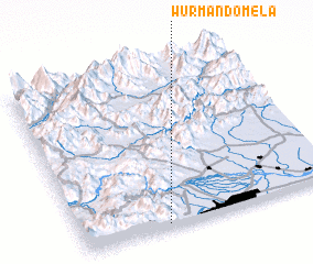 Places with similar names to Wurmando Mela, Pakistan :: Disclaimer :: Information on this page comes without warranty of any kind |
||
|
Where is Wurmando Mela? Elevation and coordinates ::
Latitude (lat): 34°1'27"N Longitude (lon): 71°20'0"E
Elevation (approx.): 519m (map arrows pan, magnifying glasses zoom) |
||
|
Visiting Wurmando Mela? Hotel/Accommodation ::
Book a hotel in Wurmando Mela Travel Guide ::
Buy a travel guide for Pakistan rental cars ::
car rental offers GPS waypoint ::
download a GPX waypoint (PoI) of Wurmando Mela for your GPS receiver
|
||