|
search place name
|
||
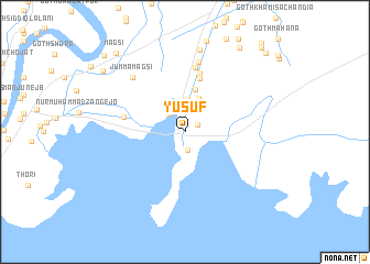
Yūsuf (Sind, Pakistan)Yūsuf is a town in the Sind region of Pakistan. An overview map of the region around Yūsuf is displayed below.
regional and 3d topo map of Yūsuf, Pakistan ::
Yūsuf airports ::
The nearest airport is KHI - Karachi Jinnah Intl, located 109.5 km north west of Yūsuf.
Other airports nearby include BDN - Talhar (120.1 km north east), BHJ - Bhuj (206.2 km south east), Nearby towns ::
Bachal Uplāna (1.4km north east) //
Shāhbandar (1.9km south) //
Hussain Rathor (2.3km north west) //
Kamāl Mehar (3.3km north) //
Hāji Allāh Wario (3.6km north) //
Allāno Māchhi (4.4km north) //
Sumār (5.6km north) //
Smmār Shāh (5.7km north) //
Dino Sammun (5.9km north) //
Lālu (6.2km north) //
Ali Muhammad Dhandro (5.8km west) //
Usmān Bāhra (6.6km north) //
Sumār Bāhra (7.2km north) //
Jumma Magsi (7.3km north west) //
Hāji Qābil Kir (8.5km north) //
Saiyid Yār Muhammad Shāh (9.9km north east) //
Jumma Dal (9.8km north west) //
Magsi (10.2km north west) //
Allah Dal (10.7km north west) //
Goth Saiyid Muhammad Husain Shāh (11.0km north east) //
Gul Muhammad Jalbāni (11.0km north east) //
[all distances 'as the bird flies' and approximate] 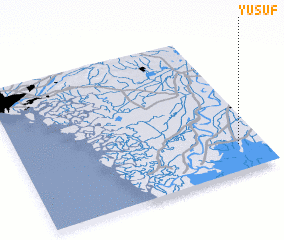 Places with similar names to Yūsuf, Pakistan ::
Disclaimer :: Information on this page comes without warranty of any kind |
||
|
Where is Yūsuf? Elevation and coordinates ::
Latitude (lat): 24°11'0"N Longitude (lon): 67°53'50"E
Elevation (approx.): 3m (map arrows pan, magnifying glasses zoom) |
||
|
Visiting Yūsuf? Hotel/Accommodation ::
Book a hotel in Yūsuf Travel Guide ::
Buy a travel guide for Pakistan rental cars ::
car rental offers GPS waypoint ::
download a GPX waypoint (PoI) of Yūsuf for your GPS receiver
|
||