|
search place name
|
||
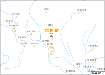
Zarmān (Balochistān, Pakistan)Zarmān is a town in the Balochistān region of Pakistan. An overview map of the region around Zarmān is displayed below.
regional and 3d topo map of Zarmān, Pakistan ::
Zarmān airports ::
The nearest airport is UET - Quetta, located 99.2 km west of Zarmān.
Other airports nearby include PZH - Zhob (199.2 km north east), SUL - Sui (201.8 km south east), Nearby towns ::
Sām Ghurmān (0.4km north) //
Ghurmi (0.6km south) //
Tirwo (1.2km north) //
Roghi (1.8km north west) //
Ghalla (2.2km north) //
Gundi (2.3km north west) //
Soki (2.4km north) //
Qala Ghwazha (2.8km north) //
Soki (2.8km north) //
Harnai (3.1km south west) //
Wasti Shaikhān (3.4km south) //
Akzai (3.4km south) //
Kānwi (3.5km north) //
Tāzu (3.7km south) //
Tājik (3.7km south) //
Kān (3.7km north) //
Landi (4.5km south) //
Urbuz (4.7km south) //
Shor Shahr (4.9km south) //
Marpāri (5.3km south) //
Aspāni (5.3km south) //
Khadrāni (5.9km south) //
Zāwi (6.9km south) //
Mazghai (6.2km south west) //
Tor Ghar (6.6km south west) //
Hurzari (6.8km west) //
[all distances 'as the bird flies' and approximate] 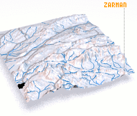 Places with similar names to Zarmān, Pakistan ::
// Surmino (RU)
// Surmino (RU)
// Surmino (RU)
// Zirmen (AT)
// Seremban (MY)
// Cermeño (PA)
// Cermeño (PA)
// Cermeño (PA)
// Cerro Mena (PA)
// Cerro Mono (PA)
Disclaimer :: Information on this page comes without warranty of any kind |
||
|
Where is Zarmān? Elevation and coordinates ::
Latitude (lat): 30°7'8"N Longitude (lon): 67°57'25"E
Elevation (approx.): 935m (map arrows pan, magnifying glasses zoom) |
||
|
Visiting Zarmān? Hotel/Accommodation ::
Book a hotel in Zarmān Travel Guide ::
Buy a travel guide for Pakistan rental cars ::
car rental offers GPS waypoint ::
download a GPX waypoint (PoI) of Zarmān for your GPS receiver
|
||