|
search place name
|
||
Birahuás (Olancho, Honduras)Birahuás is a town in the Olancho region of Honduras. An overview map of the region around Birahuás is displayed below.
regional and 3d topo map of Birahuás, Honduras ::

Birahuás airports ::
The nearest airport is PUZ - Puerto Cabezas, located 197.7 km east of Birahuás.
Other airports nearby include LCE - La Ceiba Goloson Intl (238.9 km north west), Nearby towns ::
Santa Rita (2.6km south east) //
Kisiksik (2.6km south west) //
Panka Dákura (3.6km east) //
Bocay (4.0km north east) //
Auanay (5.7km west) //
Pankawás (5.7km west) //
Kung Kung Tingni (5.8km north) //
Wayawás (7.4km north) //
Mukuwás (7.6km north) //
[all distances 'as the bird flies' and approximate] 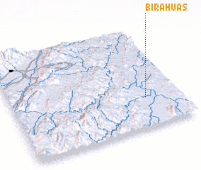 Places with similar names to Birahuás, Honduras ::
Disclaimer :: Information on this page comes without warranty of any kind |
||
|
Where is Birahuás? Elevation and coordinates ::
Latitude (lat): 14°18'0"N Longitude (lon): 85°12'0"W
Elevation (approx.): 246m (map arrows pan, magnifying glasses zoom) |
||
|
Visiting Birahuás? Hotel/Accommodation ::
Book a hotel in Birahuás Travel Guide ::
Buy a travel guide for Honduras rental cars ::
car rental offers GPS waypoint ::
download a GPX waypoint (PoI) of Birahuás for your GPS receiver
|
||