|
search place name
|
||
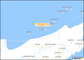
Ciriboya (Colón, Honduras)Ciriboya is a town in the Colón region of Honduras. An overview map of the region around Ciriboya is displayed below.
regional and 3d topo map of Ciriboya, Honduras ::
Ciriboya airports ::
The nearest airport is GJA - Guanaja, located 92.8 km north west of Ciriboya.
Other airports nearby include RTB - Roatan Juan Manuel Galvez Intl (144.9 km west), LCE - La Ceiba Goloson Intl (174.6 km west), PUZ - Puerto Cabezas (286.8 km south east), TGU - Tegucigalpa Toncontin Intl (296.1 km south west), Nearby towns ::
Buenos Aires (1.8km east) //
Iriona Viejo (1.8km east) //
La Puerta (4.0km north east) //
Río Miel (5.7km west) //
Punta Piedra (5.7km west) //
El Urraco (5.7km west) //
Iriona (6.5km north east) //
Los Mangos (6.5km north east) //
Cusuna (7.4km south) //
El Chicharrón (7.4km south) //
El Venado (7.6km south) //
Macho (7.6km south) //
Los Naranjos (8.2km south east) //
Agua Caliente (8.2km south east) //
[all distances 'as the bird flies' and approximate] 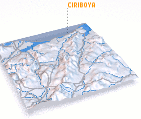 Places with similar names to Ciriboya, Honduras ::
// Serboyē (ET)
// Surabaya (ID)
// Surabaya (ID)
// Surebaye (ID)
// Sarbiye (KZ)
// Sarbuye (KE)
// Sarybiya (KG)
// Saré Baya (SN)
// Sohrābīyeh (IR)
// Zīr Ābīyeh (IR)
Disclaimer :: Information on this page comes without warranty of any kind |
||
|
Where is Ciriboya? Elevation and coordinates ::
Latitude (lat): 15°55'0"N Longitude (lon): 85°14'0"W
Elevation (approx.): -32768m (map arrows pan, magnifying glasses zoom) |
||
|
Visiting Ciriboya? Hotel/Accommodation ::
Book a hotel in Ciriboya Travel Guide ::
Buy a travel guide for Honduras rental cars ::
car rental offers GPS waypoint ::
download a GPX waypoint (PoI) of Ciriboya for your GPS receiver
|
||