|
search place name
|
||
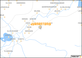
Juan Antonio (Colón, Honduras)Juan Antonio is a town in the Colón region of Honduras. An overview map of the region around Juan Antonio is displayed below.
regional and 3d topo map of Juan Antonio, Honduras ::
Juan Antonio airports ::
The nearest airport is GJA - Guanaja, located 84.5 km north of Juan Antonio.
Other airports nearby include RTB - Roatan Juan Manuel Galvez Intl (93.1 km north west), LCE - La Ceiba Goloson Intl (97.0 km west), TEA - Tela (163.9 km west), SAP - San Pedro Sula La Mesa Intl (213.2 km west), Nearby towns ::
El Barro (1.9km north) //
El Tigre (4.0km north west) //
Taujica (4.0km north east) //
Sinaloa (5.1km north west) //
Tocoa (5.4km west) //
San Isidro (5.7km west) //
Yucatán (5.7km west) //
Manga Seca (7.4km west) //
Salamá (7.6km north) //
Mangos (8.0km north west) //
Jalaca (10.3km north east) //
[all distances 'as the bird flies' and approximate] 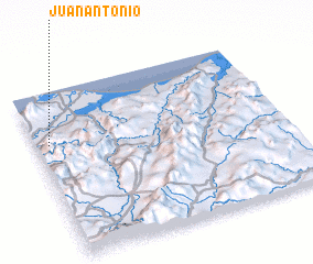 Places with similar names to Juan Antonio, Honduras ::
Disclaimer :: Information on this page comes without warranty of any kind |
||
|
Where is Juan Antonio? Elevation and coordinates ::
Latitude (lat): 15°41'0"N Longitude (lon): 85°57'0"W
Elevation (approx.): 45m (map arrows pan, magnifying glasses zoom) |
||
|
Visiting Juan Antonio? Hotel/Accommodation ::
Book a hotel in Juan Antonio Travel Guide ::
Buy a travel guide for Honduras rental cars ::
car rental offers GPS waypoint ::
download a GPX waypoint (PoI) of Juan Antonio for your GPS receiver
|
||