|
search place name
|
||
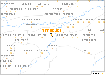
Teguajal (Yoro, Honduras)Teguajal is a town in the Yoro region of Honduras. An overview map of the region around Teguajal is displayed below.
regional and 3d topo map of Teguajal, Honduras ::
Teguajal airports ::
The nearest airport is LCE - La Ceiba Goloson Intl, located 44.4 km north of Teguajal.
Other airports nearby include TEA - Tela (89.5 km north west), RTB - Roatan Juan Manuel Galvez Intl (110.1 km north), SAP - San Pedro Sula La Mesa Intl (124.7 km west), TGU - Tegucigalpa Toncontin Intl (150.7 km south), Nearby towns ::
El Coyote (0.0km north) //
Santa Cruz (0.0km north) //
El Tigre (3.6km west) //
Santa Cruz (3.6km west) //
Yaguala (3.7km south) //
Campo Rojo (3.6km east) //
Champerío La Jigua (3.6km east) //
Buenos Aires (3.6km east) //
Los Tiestos (4.0km north east) //
La Libertad (4.0km north east) //
El Retiro (6.6km south west) //
Bomba (6.5km north east) //
El Hoyo (7.1km west) //
Chinchín (7.1km west) //
Arenal (7.1km west) //
Campo La Jigua (7.1km west) //
Campo Buenos Aires (7.1km west) //
Trojas (7.1km east) //
Santa Bárbara (7.4km north) //
Paso Arenal (8.1km north west) //
El Cayo (8.1km north east) //
Santa Marta Campo (9.1km north west) //
Chorrera (9.1km north east) //
[all distances 'as the bird flies' and approximate] 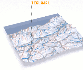 Places with similar names to Teguajal, Honduras :: Disclaimer :: Information on this page comes without warranty of any kind |
||
|
Where is Teguajal? Elevation and coordinates ::
Latitude (lat): 15°21'0"N Longitude (lon): 86°46'0"W
Elevation (approx.): 443m (map arrows pan, magnifying glasses zoom) |
||
|
Visiting Teguajal? Hotel/Accommodation ::
Book a hotel in Teguajal Travel Guide ::
Buy a travel guide for Honduras rental cars ::
car rental offers GPS waypoint ::
download a GPX waypoint (PoI) of Teguajal for your GPS receiver
|
||