|
search place name
|
||
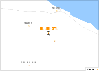
Al Jumayl (Baladīyat an Nuqāţ al Khams, Libya)Al Jumayl is a town in the Baladīyat an Nuqāţ al Khams region of Libya. An overview map of the region around Al Jumayl is displayed below.
regional and 3d topo map of Al Jumayl, Libya ::
Al Jumayl airports ::
The nearest airport is TIP - Tripoli Intl, located 105.6 km east of Al Jumayl.
Other airports nearby include DJE - Djerba Zarzis (164.5 km north west), GAE - Gabes (214.2 km north west), SFA - Sfax Thyna (242.5 km north west), Nearby towns ::
Sūq ad Dawāwidah (2.7km south east) //
Riqdālīn (7.5km north west) //
[all distances 'as the bird flies' and approximate] 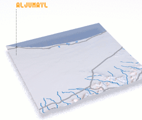 Places with similar names to Al Jumayl, Libya ::
Disclaimer :: Information on this page comes without warranty of any kind |
||
|
Where is Al Jumayl? Elevation and coordinates ::
Latitude (lat): 32°51'6"N Longitude (lon): 12°3'15"E
Elevation (approx.): 7m (map arrows pan, magnifying glasses zoom) |
||
|
Visiting Al Jumayl? Hotel/Accommodation ::
Book a hotel in Al Jumayl Travel Guide ::
Buy a travel guide for Libya rental cars ::
car rental offers GPS waypoint ::
download a GPX waypoint (PoI) of Al Jumayl for your GPS receiver
|
||