|
search place name
|
||
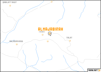
Al Majābirah (Ghadāmis, Libya)Al Majābirah is a town in the Ghadāmis region of Libya. An overview map of the region around Al Majābirah is displayed below.
regional and 3d topo map of Al Majābirah, Libya ::
Al Majābirah airports ::
The nearest airport is EBM - El Borma, located 181.2 km west of Al Majābirah.
Other airports nearby include TIP - Tripoli Intl (208.4 km north east), LTD - Ghadames East (234.3 km south west), Nearby towns ::
Al Khirbah (2.2km south west) //
Tirakt (2.5km west) //
Tālāt (6.3km east) //
[all distances 'as the bird flies' and approximate] 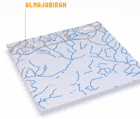 Places with similar names to Al Majābirah, Libya ::
// Al Majābirah (EG)
Disclaimer :: Information on this page comes without warranty of any kind |
||
|
Where is Al Majābirah? Elevation and coordinates ::
Latitude (lat): 31°51'36"N Longitude (lon): 11°9'33"E
Elevation (approx.): 652m (map arrows pan, magnifying glasses zoom) |
||
|
Visiting Al Majābirah? Hotel/Accommodation ::
Book a hotel in Al Majābirah Travel Guide ::
Buy a travel guide for Libya rental cars ::
car rental offers GPS waypoint ::
download a GPX waypoint (PoI) of Al Majābirah for your GPS receiver
|
||