|
search place name
|
||
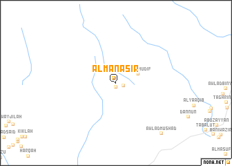
Al Manāşīr (Gharyān, Libya)Al Manāşīr is a town in the Gharyān region of Libya. An overview map of the region around Al Manāşīr is displayed below.
regional and 3d topo map of Al Manāşīr, Libya ::
Al Manāşīr airports ::
The nearest airport is TIP - Tripoli Intl, located 63.6 km north east of Al Manāşīr.
Nearby towns ::
Qabīlat Awlād ‘Izāz (0.6km south) //
Qabīlat az Zarībah (1.1km south east) //
Awlād Muḑīf (3.3km north east) //
Awlād Mūshād (10.3km south east) //
[all distances 'as the bird flies' and approximate]  Places with similar names to Al Manāşīr, Libya ::
// Almansor (PT)
// Al Manşūrah (EG)
// Al Manşūrah (EG)
// Al Munāşirah (EG)
// Almanzora (ES)
// Al Manāşirah (SD)
// ‘Alī Manşūr (IR)
// ‘Alī Manşūr (IQ)
// Al Manşūrī (LB)
// Al Manşūrah (LB)
Disclaimer :: Information on this page comes without warranty of any kind |
||
|
Where is Al Manāşīr? Elevation and coordinates ::
Latitude (lat): 32°9'41"N Longitude (lon): 12°49'54"E
Elevation (approx.): 295m (map arrows pan, magnifying glasses zoom) |
||
|
Visiting Al Manāşīr? Hotel/Accommodation ::
Book a hotel in Al Manāşīr Travel Guide ::
Buy a travel guide for Libya rental cars ::
car rental offers GPS waypoint ::
download a GPX waypoint (PoI) of Al Manāşīr for your GPS receiver
|
||