|
search place name
|
||
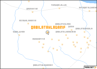
Qabīlat Awlād ‘Ārif (Al Khums, Libya)Qabīlat Awlād ‘Ārif is a town in the Al Khums region of Libya. An overview map of the region around Qabīlat Awlād ‘Ārif is displayed below.
regional and 3d topo map of Qabīlat Awlād ‘Ārif, Libya ::
Qabīlat Awlād ‘Ārif airports ::
The nearest airport is TIP - Tripoli Intl, located 69.9 km west of Qabīlat Awlād ‘Ārif.
Nearby towns ::
Qabīlat al ‘Amārīyīn (2.1km south east) //
Qabīlat al Jawābir (2.7km north) //
Qabīlat al Karāritah (4.1km south west) //
Ash Shi‘āfīyīn (4.1km south west) //
Qabīlat ar Radādah (4.0km south east) //
Qabīlat ash Shi‘āfīyīn (5.3km south) //
Qabīlat al Fawātīr (5.7km south) //
Qabīlat Salimah (5.6km north east) //
Qabīlat ar Rāghah (6.5km south) //
Ash Shurūf (5.9km south east) //
Qabīlat al Karāwinah (5.6km east) //
Qabīlat al Fawātīr (6.6km south east) //
Qabīlat ash Shurfah (6.4km east) //
Asyādī al ‘Amārīyīn (7.9km north west) //
Qaşr Khiyār (10.2km north west) //
[all distances 'as the bird flies' and approximate] 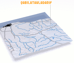 Places with similar names to Qabīlat Awlād ‘Ārif, Libya :: Disclaimer :: Information on this page comes without warranty of any kind |
||
|
Where is Qabīlat Awlād ‘Ārif? Elevation and coordinates ::
Latitude (lat): 32°37'4"N Longitude (lon): 13°54'7"E
Elevation (approx.): 247m (map arrows pan, magnifying glasses zoom) |
||
|
Visiting Qabīlat Awlād ‘Ārif? Hotel/Accommodation ::
Book a hotel in Qabīlat Awlād ‘Ārif Travel Guide ::
Buy a travel guide for Libya rental cars ::
car rental offers GPS waypoint ::
download a GPX waypoint (PoI) of Qabīlat Awlād ‘Ārif for your GPS receiver
|
||