|
search place name
|
||
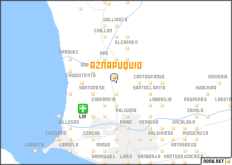
Aznapuquio (Lima, Peru)Aznapuquio is a town in the Lima region of Peru. An overview map of the region around Aznapuquio is displayed below.
regional and 3d topo map of Aznapuquio, Peru ::
Aznapuquio airports ::
The nearest airport is LIM - Lima Jorge Chavez Intl, located 6.7 km south west of Aznapuquio.
Other airports nearby include PIO - Pisco Intl (215.4 km south east), Nearby towns ::
Repartición (1.9km south) //
Comas (3.7km north) //
Infantas (3.7km north) //
La Milla (3.7km south) //
Aliaga (3.7km south) //
Quinta Wisse (3.6km east) //
Chuquitanta (4.1km north west) //
Naranjal (4.1km north west) //
Pro (4.1km north west) //
Santa Rosa (4.1km south west) //
Huaquillay (4.1km north east) //
Chavarría (4.1km south west) //
Canto Grande (5.4km east) //
Chuquitanta (5.4km west) //
San Martín de Porras (5.8km south) //
Condevilla Señor (5.8km south) //
Egle (5.7km east) //
Palomares (5.7km east) //
Santa Clarita (5.7km east) //
El Carmen (5.8km north) //
Collique Bajo (5.8km north) //
Polígoño (5.8km south) //
Chacarilla (6.6km south west) //
Flores (6.6km south east) //
Ascarrunz (6.6km south east) //
Bocanegra (6.6km south west) //
Chacra Cerro (7.4km north) //
Santa María (7.3km east) //
Monserrate (7.4km south) //
[all distances 'as the bird flies' and approximate] 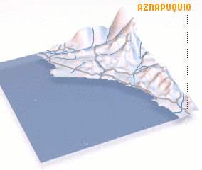 Places with similar names to Aznapuquio, Peru ::
// Asno Puquio (PE)
Disclaimer :: Information on this page comes without warranty of any kind |
||
|
Where is Aznapuquio? Elevation and coordinates ::
Latitude (lat): 11°59'0"S Longitude (lon): 77°4'0"W
Elevation (approx.): 63m (map arrows pan, magnifying glasses zoom) |
||
|
Visiting Aznapuquio? Hotel/Accommodation ::
Book a hotel in Aznapuquio Travel Guide ::
Buy a travel guide for Peru rental cars ::
car rental offers GPS waypoint ::
download a GPX waypoint (PoI) of Aznapuquio for your GPS receiver
|
||