|
search place name
|
||
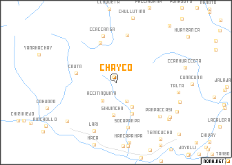
Chayco (Arequipa, Peru)Chayco is a town in the Arequipa region of Peru. An overview map of the region around Chayco is displayed below.
regional and 3d topo map of Chayco, Peru ::
Chayco airports ::
The nearest airport is AQP - Arequipa Rodriguez Ballon, located 89.0 km south of Chayco.
Other airports nearby include JUL - Juliaca (169.7 km east), ANS - Andahuaylas (268.0 km north west), Nearby towns ::
Vizcachane (3.5km south east) //
Accitinquina (3.6km south west) //
Oncca (4.7km south east) //
Sihuincha (5.3km south) //
Malata (5.7km south east) //
Cauta (6.4km west) //
Calomoroco (6.9km north) //
Soca Pampa (7.5km south) //
Ccaccansa (7.8km north) //
Carhuasanta (7.9km north) //
Lari (8.6km south west) //
Pampa Ccasi (8.8km south east) //
Madrigal (9.8km south west) //
Pumachiri (10.2km south east) //
Jeljata (10.2km south east) //
[all distances 'as the bird flies' and approximate] 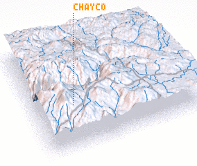 Places with similar names to Chayco, Peru ::
Disclaimer :: Information on this page comes without warranty of any kind |
||
|
Where is Chayco? Elevation and coordinates ::
Latitude (lat): 15°33'4"S Longitude (lon): 71°44'15"W
Elevation (approx.): 4679m (map arrows pan, magnifying glasses zoom) |
||
|
Visiting Chayco? Hotel/Accommodation ::
Book a hotel in Chayco Travel Guide ::
Buy a travel guide for Peru rental cars ::
car rental offers GPS waypoint ::
download a GPX waypoint (PoI) of Chayco for your GPS receiver
|
||