|
search place name
|
||
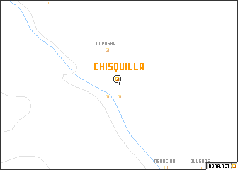
Chisquilla (Amazonas, Peru)Chisquilla is a town in the Amazonas region of Peru. An overview map of the region around Chisquilla is displayed below.
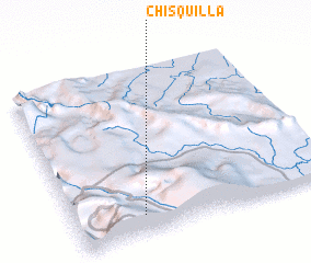
regional and 3d topo map of Chisquilla, Peru ::
Chisquilla airports ::
The nearest airport is CHH - Chachapoyas, located 37.7 km south of Chisquilla.
Other airports nearby include TPP - Tarapoto Cadete Guillermo Del Castillo Paredes (165.7 km south east), YMS - Yurimaguas Moises Benzaquen Rengifo (178.9 km east), JJI - Juanjui (180.5 km south east), Nearby towns ::
 Places with similar names to Chisquilla, Peru ::
Disclaimer :: Information on this page comes without warranty of any kind |
||
|
Where is Chisquilla? Elevation and coordinates ::
Latitude (lat): 5°53'0"S Longitude (lon): 77°44'0"W
Elevation (approx.): 2833m (map arrows pan, magnifying glasses zoom) |
||
|
Visiting Chisquilla? Hotel/Accommodation ::
Book a hotel in Chisquilla Travel Guide ::
Buy a travel guide for Peru rental cars ::
car rental offers GPS waypoint ::
download a GPX waypoint (PoI) of Chisquilla for your GPS receiver
|
||