|
search place name
|
||
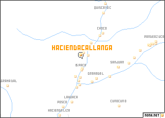
Hacienda Callanga (Arequipa, Peru)Hacienda Callanga is a town in the Arequipa region of Peru. An overview map of the region around Hacienda Callanga is displayed below.
regional and 3d topo map of Hacienda Callanga, Peru ::
Hacienda Callanga airports ::
The nearest airport is AQP - Arequipa Rodriguez Ballon, located 172.4 km east of Hacienda Callanga.
Nearby towns ::
Santa Marta (1.4km north) //
Santa Rosa (1.5km north east) //
Hacienda Ispaca (2.2km south) //
Ispaca (2.6km south) //
Hacienda Piquillay (4.1km north east) //
La Victoria (4.2km south) //
Hacienda Ancha (4.3km south) //
Hacienda Alto Molino (5.0km south) //
Gramadal (5.3km south east) //
Jarana (5.6km south) //
Iquipi (5.9km south) //
Taquila (6.5km south) //
Potrero (6.6km north east) //
Chillihuay (7.2km south east) //
Choco (7.4km north east) //
San Juan (8.0km east) //
Mina San Juan (8.1km east) //
[all distances 'as the bird flies' and approximate] 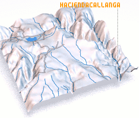 Places with similar names to Hacienda Callanga, Peru ::
// Hacienda Agualongo (EC)
// Hacienda Callango (PE)
Disclaimer :: Information on this page comes without warranty of any kind |
||
|
Where is Hacienda Callanga? Elevation and coordinates ::
Latitude (lat): 15°53'15"S Longitude (lon): 73°7'28"W
Elevation (approx.): 545m (map arrows pan, magnifying glasses zoom) |
||
|
Visiting Hacienda Callanga? Hotel/Accommodation ::
Book a hotel in Hacienda Callanga Travel Guide ::
Buy a travel guide for Peru rental cars ::
car rental offers GPS waypoint ::
download a GPX waypoint (PoI) of Hacienda Callanga for your GPS receiver
|
||