|
search place name
|
||
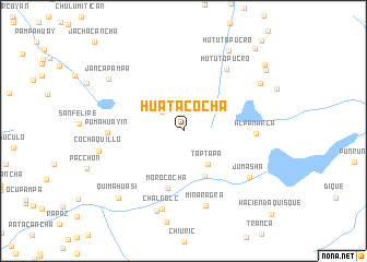
Huatacocha (Pasco, Peru)Huatacocha is a town in the Pasco region of Peru. An overview map of the region around Huatacocha is displayed below.
regional and 3d topo map of Huatacocha, Peru ::
Huatacocha airports ::
The nearest airport is LIM - Lima Jorge Chavez Intl, located 148.0 km south west of Huatacocha.
Other airports nearby include ATA - Anta Comandante Fap German Arias Graziani (193.9 km north west), CHM - Chimbote Teniente Jaime A De Montreuil Morales (278.9 km north west), Nearby towns ::
Pistag (2.9km north west) //
Taptapa (4.2km south east) //
Chagas Chico (5.1km south east) //
Morococha (6.1km south) //
Alpamarca (7.3km east) //
Hututopucro (7.7km north east) //
Pumahuayin (7.6km west) //
Mina Ragra (8.0km south) //
Jumasha (8.1km south east) //
Chalgocc (8.2km south) //
Chagapata (8.6km south) //
Cochaquillo (8.8km west) //
Hahuashcocha (9.1km north east) //
Jancapampa (9.2km north west) //
Hututo Pucro (9.4km north east) //
Quimahuasi (9.5km south west) //
Huacayshana (10.3km north east) //
Hasiacocha (10.6km north east) //
Hayamachay (11.1km north east) //
[all distances 'as the bird flies' and approximate] 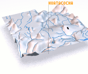 Places with similar names to Huatacocha, Peru ::
// Huaytacucho (PE)
Disclaimer :: Information on this page comes without warranty of any kind |
||
|
Where is Huatacocha? Elevation and coordinates ::
Latitude (lat): 10°47'18"S Longitude (lon): 76°35'25"W
Elevation (approx.): 4488m (map arrows pan, magnifying glasses zoom) |
||
|
Visiting Huatacocha? Hotel/Accommodation ::
Book a hotel in Huatacocha Travel Guide ::
Buy a travel guide for Peru rental cars ::
car rental offers GPS waypoint ::
download a GPX waypoint (PoI) of Huatacocha for your GPS receiver
|
||