|
search place name
|
||
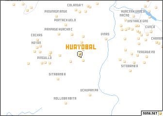
Huayobal (La Libertad, Peru)Huayobal is a town in the La Libertad region of Peru. An overview map of the region around Huayobal is displayed below.
regional and 3d topo map of Huayobal, Peru ::
Huayobal airports ::
The nearest airport is JJI - Juanjui, located 139.2 km north east of Huayobal.
Other airports nearby include ATA - Anta Comandante Fap German Arias Graziani (150.5 km south), TRU - Trujillo Capitan Carlos Martinez De Pinillos (157.3 km west), CHM - Chimbote Teniente Jaime A De Montreuil Morales (158.1 km south west), CHH - Chachapoyas (198.6 km north), Nearby towns ::
Corrales (0.5km north west) //
Matibamba (0.7km south east) //
Alizar (2.0km north) //
Ushnobal (2.6km west) //
Caucho (3.7km north) //
San Miguel de Shita (5.0km west) //
Caucharatay (5.0km north) //
Huarcho (5.8km north) //
Viñas (7.2km north east) //
Hacienda Shitabal (7.1km west) //
Sitabamba (7.2km south west) //
Garbancillo (7.3km west) //
Huancabamba (7.3km west) //
Pampa de Huachac (7.5km north west) //
Pingullo (8.3km west) //
Portachuelo (8.4km north west) //
Uchupampa (8.8km south) //
[all distances 'as the bird flies' and approximate] 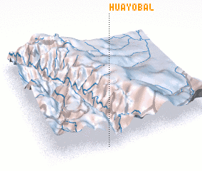
Disclaimer :: Information on this page comes without warranty of any kind |
||
|
Where is Huayobal? Elevation and coordinates ::
Latitude (lat): 7°59'23"S Longitude (lon): 77°41'4"W
Elevation (approx.): 3072m (map arrows pan, magnifying glasses zoom) |
||
|
Visiting Huayobal? Hotel/Accommodation ::
Book a hotel in Huayobal Travel Guide ::
Buy a travel guide for Peru rental cars ::
car rental offers GPS waypoint ::
download a GPX waypoint (PoI) of Huayobal for your GPS receiver
|
||