|
search place name
|
||
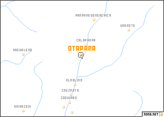
Otapara (Arequipa, Peru)Otapara is a town in the Arequipa region of Peru. An overview map of the region around Otapara is displayed below.
regional and 3d topo map of Otapara, Peru ::
Otapara airports ::
The nearest airport is ANS - Andahuaylas, located 221.3 km north east of Otapara.
Other airports nearby include PIO - Pisco Intl (247.5 km north west), Nearby towns ::
Calapampa (3.4km north) //
El Molino (6.1km south) //
Cruz Pata (8.6km south) //
Pampa Redonda Chica (9.2km north) //
[all distances 'as the bird flies' and approximate] 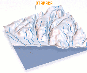
Disclaimer :: Information on this page comes without warranty of any kind |
||
|
Where is Otapara? Elevation and coordinates ::
Latitude (lat): 15°18'34"S Longitude (lon): 74°34'43"W
Elevation (approx.): 333m (map arrows pan, magnifying glasses zoom) |
||
|
Visiting Otapara? Hotel/Accommodation ::
Book a hotel in Otapara Travel Guide ::
Buy a travel guide for Peru rental cars ::
car rental offers GPS waypoint ::
download a GPX waypoint (PoI) of Otapara for your GPS receiver
|
||