|
search place name
|
||
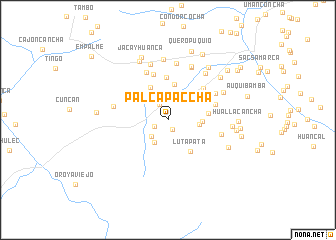
Palcapaccha (Junín, Peru)Palcapaccha is a town in the Junín region of Peru. An overview map of the region around Palcapaccha is displayed below.
regional and 3d topo map of Palcapaccha, Peru ::
Palcapaccha airports ::
The nearest airport is LIM - Lima Jorge Chavez Intl, located 155.1 km south west of Palcapaccha.
Other airports nearby include AYP - Ayacucho Coronel Fap Alfredo Mendivil Duarte (255.3 km south east), Nearby towns ::
Palcapampa (1.2km south east) //
Umancasha (1.6km south west) //
Ayabamba (2.0km north west) //
Palcapacha (2.2km north) //
Huaripalla (2.6km north) //
Quishca (2.6km south west) //
Parahuillca (2.9km south west) //
Huactacancha (2.9km north) //
Becerrocancha (3.5km east) //
Saniacancha (3.7km east) //
Huay (4.0km north) //
Jatunpampa (4.1km north west) //
Lutapata (4.3km south east) //
Chinchanhuain (4.4km north west) //
Shiripata (4.5km east) //
Huacapo (4.8km north) //
Saccracancha (5.3km north) //
Mulio (5.2km north east) //
Yalca (5.5km east) //
Ñahuin Puquio (5.8km north west) //
Pran (6.0km north east) //
Auquiscancha (6.1km east) //
Cargaccoto (6.2km west) //
Chancha (6.4km north east) //
Queropuquio (6.4km north) //
Cochas Alto (6.5km north east) //
Gentilmachay (6.5km north) //
Cochas Bajo (6.6km north east) //
Champa Urco (6.8km north) //
[all distances 'as the bird flies' and approximate] 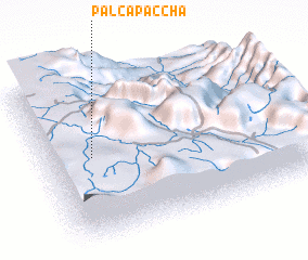 Places with similar names to Palcapaccha, Peru :: Disclaimer :: Information on this page comes without warranty of any kind |
||
|
Where is Palcapaccha? Elevation and coordinates ::
Latitude (lat): 11°28'8"S Longitude (lon): 75°48'26"W
Elevation (approx.): 3763m (map arrows pan, magnifying glasses zoom) |
||
|
Visiting Palcapaccha? Hotel/Accommodation ::
Book a hotel in Palcapaccha Travel Guide ::
Buy a travel guide for Peru rental cars ::
car rental offers GPS waypoint ::
download a GPX waypoint (PoI) of Palcapaccha for your GPS receiver
|
||