|
search place name
|
||
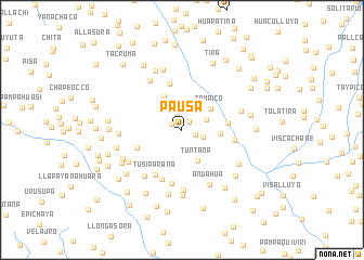
Pausa (Arequipa, Peru)Pausa is a town in the Arequipa region of Peru. An overview map of the region around Pausa is displayed below.
regional and 3d topo map of Pausa, Peru ::
Pausa airports ::
The nearest airport is AQP - Arequipa Rodriguez Ballon, located 96.2 km south west of Pausa.
Other airports nearby include JUL - Juliaca (115.7 km east), Nearby towns ::
Chillautira (1.1km north east) //
Pomauchinca (1.2km north west) //
Itocasi (1.4km south east) //
Huaylluma (1.7km north) //
Huich-Huiri (2.2km east) //
Tiña Tiña (2.6km north east) //
Salcaña (2.6km north east) //
Tuntana (3.6km south east) //
Tomaico (3.5km north east) //
Chayuta (3.8km north west) //
Llinquihuiri (3.8km east) //
Pucuita (4.7km east) //
Ocuviri (4.9km north) //
Condorane (4.8km south west) //
Tusiparaña (5.4km south west) //
Llapatira (5.3km east) //
Lacuyo (5.5km south) //
Cacapuyuna (5.7km south) //
Ataucusi (5.9km north west) //
Alcaña (6.0km south west) //
Casahuasi (6.2km south) //
Andahua (6.3km south east) //
Lacaitira (6.2km east) //
Huancarlao (6.3km south west) //
Huilacucho (6.5km north) //
Ccachisora (6.3km west) //
Puma Huasi (6.6km north west) //
Jancojahua (6.8km south) //
Huasahuasi (6.8km south) //
[all distances 'as the bird flies' and approximate] 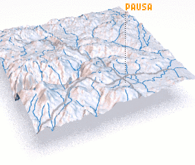 Places with similar names to Pausa, Peru ::
Disclaimer :: Information on this page comes without warranty of any kind |
||
|
Where is Pausa? Elevation and coordinates ::
Latitude (lat): 15°32'25"S Longitude (lon): 71°14'3"W
Elevation (approx.): 4582m (map arrows pan, magnifying glasses zoom) |
||
|
Visiting Pausa? Hotel/Accommodation ::
Book a hotel in Pausa Travel Guide ::
Buy a travel guide for Peru rental cars ::
car rental offers GPS waypoint ::
download a GPX waypoint (PoI) of Pausa for your GPS receiver
|
||