|
search place name
|
||
Payalaira (Cusco, Peru)Payalaira is a town in the Cusco region of Peru. An overview map of the region around Payalaira is displayed below.
regional and 3d topo map of Payalaira, Peru ::

Payalaira airports ::
The nearest airport is CUZ - Cuzco Teniente Alejandro Velasco Astete Intl, located 114.3 km north west of Payalaira.
Other airports nearby include JUL - Juliaca (173.9 km south east), AQP - Arequipa Rodriguez Ballon (219.5 km south), Nearby towns ::
La Compuerta (1.2km north) //
Huasahuasi (1.3km south) //
Maca (2.9km north east) //
Yurac Cancha (3.7km west) //
Ñahui (4.3km south east) //
Antaimarca (4.4km south) //
Antacalla (4.4km west) //
Pucachupa (4.9km south west) //
Tantani (5.1km south east) //
Chiaracce (5.7km west) //
Lizani (6.0km north east) //
Paco Paco (6.1km south east) //
Jancayo (6.3km south) //
Pilcurani (6.6km south) //
Ccallya (6.7km south east) //
Huahuañuma (6.8km north east) //
Colo (6.9km north east) //
Jancahui (7.7km south) //
Pertendes (7.9km south) //
Capillani (7.9km north) //
Langui (8.2km south east) //
Collca (8.2km south east) //
Llacuyochupa (8.5km north east) //
Quiscayoc Pata (8.7km south) //
Antahuayco (10.0km south east) //
Churulla (10.2km north east) //
Llactaviri (10.3km north east) //
Cunde (10.4km south east) //
Herca (10.7km north east) //
[all distances 'as the bird flies' and approximate] 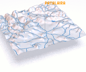 Places with similar names to Payalaira, Peru ::
// Payallar (TR)
Disclaimer :: Information on this page comes without warranty of any kind |
||
|
Where is Payalaira? Elevation and coordinates ::
Latitude (lat): 14°22'26"S Longitude (lon): 71°19'12"W
Elevation (approx.): 4017m (map arrows pan, magnifying glasses zoom) |
||
|
Visiting Payalaira? Hotel/Accommodation ::
Book a hotel in Payalaira Travel Guide ::
Buy a travel guide for Peru rental cars ::
car rental offers GPS waypoint ::
download a GPX waypoint (PoI) of Payalaira for your GPS receiver
|
||