|
search place name
|
||
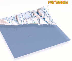
Punta Negra (Arequipa, Peru)Punta Negra is a town in the Arequipa region of Peru. An overview map of the region around Punta Negra is displayed below.
regional and 3d topo map of Punta Negra, Peru ::

Punta Negra airports ::
The nearest airport is AQP - Arequipa Rodriguez Ballon, located 164.4 km east of Punta Negra.
Nearby towns ::
 Places with similar names to Punta Negra, Peru ::
// Pena da Nogueira (ES)
// Puente Negro (CL)
// Punta Negra (CL)
// Punta Negra (CL)
// Puente Negro (MX)
// Punta Negra (PE)
// Pantnagar (IN)
// Ponta Negra (BR)
Disclaimer :: Information on this page comes without warranty of any kind |
||
|
Where is Punta Negra? Elevation and coordinates ::
Latitude (lat): 16°23'14"S Longitude (lon): 73°7'17"W
Elevation (approx.): 40m (map arrows pan, magnifying glasses zoom) |
||
|
Visiting Punta Negra? Hotel/Accommodation ::
Book a hotel in Punta Negra Travel Guide ::
Buy a travel guide for Peru rental cars ::
car rental offers GPS waypoint ::
download a GPX waypoint (PoI) of Punta Negra for your GPS receiver
|
||