|
search place name
|
||
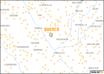
Quenco (Arequipa, Peru)Quenco is a town in the Arequipa region of Peru. An overview map of the region around Quenco is displayed below.
regional and 3d topo map of Quenco, Peru ::
Quenco airports ::
The nearest airport is AQP - Arequipa Rodriguez Ballon, located 99.3 km south west of Quenco.
Other airports nearby include JUL - Juliaca (108.4 km east), Nearby towns ::
Antayaque (1.6km north) //
Lacaitira (2.4km north west) //
Llapatira (2.4km south west) //
Tolatira (2.8km east) //
Pucuita (2.8km west) //
Llinquihuiri (3.6km west) //
Ccaccahuasi (4.0km south west) //
Palca (4.3km north) //
Viscachane (4.2km south east) //
Achacutaña (4.4km north) //
Quihuire (4.7km north east) //
Pucaccacca (5.0km north) //
Tisco (4.9km east) //
Tomaico (5.0km north west) //
Salcaña (5.0km west) //
Huayllane (5.2km south west) //
Mantarpollo (5.1km east) //
Finaya (5.3km north) //
Huich-Huiri (5.4km west) //
Mantarhuyo (5.5km south east) //
Frontera (5.9km north) //
Sañuma (6.0km north east) //
Patahua (6.1km south east) //
Huancorane (6.2km north east) //
Itocasi (6.1km west) //
Longerutaña (6.2km east) //
Palca Palomani (6.4km north) //
Chaquicocha (6.4km north) //
Huilcañe (6.5km north) //
[all distances 'as the bird flies' and approximate] 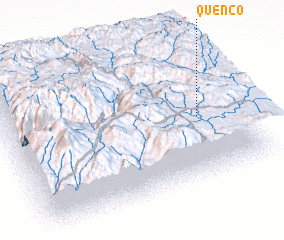 Places with similar names to Quenco, Peru ::
Disclaimer :: Information on this page comes without warranty of any kind |
||
|
Where is Quenco? Elevation and coordinates ::
Latitude (lat): 15°32'23"S Longitude (lon): 71°9'56"W
Elevation (approx.): 4448m (map arrows pan, magnifying glasses zoom) |
||
|
Visiting Quenco? Hotel/Accommodation ::
Book a hotel in Quenco Travel Guide ::
Buy a travel guide for Peru rental cars ::
car rental offers GPS waypoint ::
download a GPX waypoint (PoI) of Quenco for your GPS receiver
|
||