|
search place name
|
||
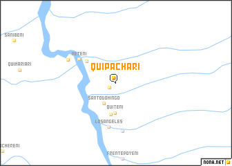
Quipachari (Junín, Peru)Quipachari is a town in the Junín region of Peru. An overview map of the region around Quipachari is displayed below.
regional and 3d topo map of Quipachari, Peru ::
Quipachari airports ::
The nearest airport is AYP - Ayacucho Coronel Fap Alfredo Mendivil Duarte, located 169.7 km south of Quipachari.
Nearby towns ::
Juan Pablo II (1.3km south west) //
Santo Domingo (3.8km south west) //
Quiteni (4.9km south) //
Puerto Unión (5.1km south) //
Puerto Porvenir (5.8km north west) //
Meteni (7.0km north west) //
Los Ángeles (7.2km south) //
Bajo Catshingari (7.9km south) //
Boca Sanibeni (8.5km north west) //
[all distances 'as the bird flies' and approximate] 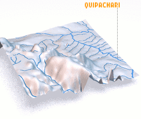 Places with similar names to Quipachari, Peru ::
Disclaimer :: Information on this page comes without warranty of any kind |
||
|
Where is Quipachari? Elevation and coordinates ::
Latitude (lat): 11°37'54"S Longitude (lon): 74°1'0"W
Elevation (approx.): 384m (map arrows pan, magnifying glasses zoom) |
||
|
Visiting Quipachari? Hotel/Accommodation ::
Book a hotel in Quipachari Travel Guide ::
Buy a travel guide for Peru rental cars ::
car rental offers GPS waypoint ::
download a GPX waypoint (PoI) of Quipachari for your GPS receiver
|
||