|
search place name
|
||
San Juan de La Libertad (Amazonas, Peru)San Juan de La Libertad is a town in the Amazonas region of Peru. An overview map of the region around San Juan de La Libertad is displayed below.
regional and 3d topo map of San Juan de La Libertad, Peru ::

San Juan de La Libertad airports ::
The nearest airport is CHH - Chachapoyas, located 81.0 km south east of San Juan de La Libertad.
Other airports nearby include CIX - Chiclayo Capt Jose A Quinones Gonzales Intl (201.3 km south west), JJI - Juanjui (245.2 km south east), Nearby towns ::
Palogrande (2.7km west) //
Diamante Alto (3.6km south east) //
San José (4.1km south west) //
Copallín (4.9km west) //
Naranjos Alto (6.1km south) //
Santa Isabel (7.1km south east) //
Naranjos Bajo (7.4km south) //
Cajaruro (7.5km south west) //
José Olaya (7.8km south east) //
Choloque (8.8km south west) //
Almendral (9.8km north west) //
Bagua Grande (10.3km south west) //
Morerilla (10.4km south west) //
La Peca (10.7km north west) //
San Francisco (10.9km north west) //
[all distances 'as the bird flies' and approximate] 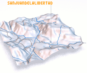 Places with similar names to San Juan de La Libertad, Peru ::
// San Juan de La Libertad (PE)
Disclaimer :: Information on this page comes without warranty of any kind |
||
|
Where is San Juan de La Libertad? Elevation and coordinates ::
Latitude (lat): 5°41'18"S Longitude (lon): 78°22'40"W
Elevation (approx.): 1015m (map arrows pan, magnifying glasses zoom) |
||
|
Visiting San Juan de La Libertad? Hotel/Accommodation ::
Book a hotel in San Juan de La Libertad Travel Guide ::
Buy a travel guide for Peru rental cars ::
car rental offers GPS waypoint ::
download a GPX waypoint (PoI) of San Juan de La Libertad for your GPS receiver
|
||