|
search place name
|
||
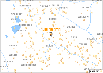
Urinsaya (Cusco, Peru)Urinsaya is a town in the Cusco region of Peru. An overview map of the region around Urinsaya is displayed below.
regional and 3d topo map of Urinsaya, Peru ::
Urinsaya airports ::
The nearest airport is CUZ - Cuzco Teniente Alejandro Velasco Astete Intl, located 93.2 km north west of Urinsaya.
Other airports nearby include JUL - Juliaca (194.0 km south east), ANS - Andahuaylas (219.6 km west), Nearby towns ::
Anansaya (0.6km south east) //
Queromarca (1.4km south west) //
Chacupata (1.7km south east) //
Machacmarca (2.2km north) //
Quellocunca (2.2km north west) //
Urampampa (2.7km north) //
Chignua Pampa (2.8km north west) //
Cruzmoco (2.8km north) //
Chigno (2.9km north) //
Coscora (3.0km east) //
Pichura (3.0km south east) //
Ccahuamayo (3.1km north east) //
Utapia (3.2km west) //
Gilanaca (3.2km west) //
Cochacunca (3.2km east) //
Pampahuasi (3.3km north east) //
Misqui Uno (3.3km west) //
Ranchupata (3.4km south west) //
Yanqui (3.6km east) //
Cuncapata (3.9km north) //
Cuchu Urinsaya (3.9km east) //
San Pedro (3.9km east) //
Pumaorco (4.2km north) //
Rosasani (4.5km south) //
Chilcani (4.6km south east) //
Nahuañi (4.7km north) //
Tinta (4.7km north west) //
Quisuar (5.0km south west) //
Cañahui (5.3km north) //
[all distances 'as the bird flies' and approximate]  Places with similar names to Urinsaya, Peru ::
// Urinsaya (PE)
Disclaimer :: Information on this page comes without warranty of any kind |
||
|
Where is Urinsaya? Elevation and coordinates ::
Latitude (lat): 14°10'26"S Longitude (lon): 71°22'32"W
Elevation (approx.): 3492m (map arrows pan, magnifying glasses zoom) |
||
|
Visiting Urinsaya? Hotel/Accommodation ::
Book a hotel in Urinsaya Travel Guide ::
Buy a travel guide for Peru rental cars ::
car rental offers GPS waypoint ::
download a GPX waypoint (PoI) of Urinsaya for your GPS receiver
|
||