|
search place name
|
||
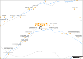
Vichuya (Lima, Peru)Vichuya is a town in the Lima region of Peru. An overview map of the region around Vichuya is displayed below.
regional and 3d topo map of Vichuya, Peru ::
Vichuya airports ::
The nearest airport is LIM - Lima Jorge Chavez Intl, located 46.9 km west of Vichuya.
Other airports nearby include PIO - Pisco Intl (195.9 km south), Nearby towns ::
Nieve Nieve (0.0km north) //
Balconcillo de la Palma (1.8km east) //
Balconcillo de Aviyay (1.8km east) //
San Martín (3.6km west) //
Chontay (3.6km west) //
Santa Leocadia (4.1km north east) //
Chacralta (4.1km south west) //
Antapucro (5.4km east) //
Sisicaya (5.7km east) //
Mal Paso (5.7km west) //
Guayabal Bajo (5.7km west) //
Piedraliza (8.1km south west) //
Pichicato Alto (8.1km south west) //
San José (9.1km south west) //
Chirimoyo (9.1km south west) //
[all distances 'as the bird flies' and approximate] 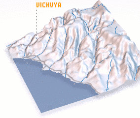
Disclaimer :: Information on this page comes without warranty of any kind |
||
|
Where is Vichuya? Elevation and coordinates ::
Latitude (lat): 12°2'0"S Longitude (lon): 76°41'0"W
Elevation (approx.): 1137m (map arrows pan, magnifying glasses zoom) |
||
|
Visiting Vichuya? Hotel/Accommodation ::
Book a hotel in Vichuya Travel Guide ::
Buy a travel guide for Peru rental cars ::
car rental offers GPS waypoint ::
download a GPX waypoint (PoI) of Vichuya for your GPS receiver
|
||