|
search place name
|
||
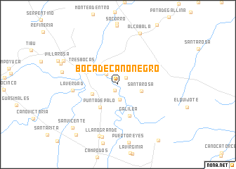
Boca de Caño Negro (Zulia, Venezuela)Boca de Caño Negro is a town in the Zulia region of Venezuela. An overview map of the region around Boca de Caño Negro is displayed below.
regional and 3d topo map of Boca de Caño Negro, Venezuela ::
Boca de Caño Negro airports ::
The nearest airport is LFR - La Fria, located 55.0 km south east of Boca de Caño Negro.
Other airports nearby include CUC - Cucuta Camilo Daza (75.2 km south), STB - Santa Barbara Del Zulia (84.8 km north east), SVZ - San Antonio Del Tachira (86.1 km south), OCV - Ocana Aguas Claras (87.7 km west), Nearby towns ::
El Tarra (1.1km south west) //
Catatumbo (1.6km north east) //
San Isidro (2.4km south) //
Sardinata (2.4km north west) //
Santa Rosa (3.9km east) //
El Olivo (4.3km west) //
Tres Bocas (4.4km north west) //
Punta de Palo (4.6km south west) //
Galilea (5.3km south) //
Tres Bocas (6.2km north west) //
La Verdad (7.1km west) //
Llano Grande (8.6km south) //
La Colina (8.7km south) //
Alcabala (8.8km north east) //
El Mirador (9.3km north west) //
San Vicente (9.9km south west) //
El Encanto (10.4km south west) //
El Ochenta y Ocho (10.9km south east) //
[all distances 'as the bird flies' and approximate] 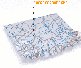 Places with similar names to Boca de Caño Negro, Venezuela ::
// Boca de Caño Negro (VE)
Disclaimer :: Information on this page comes without warranty of any kind |
||
|
Where is Boca de Caño Negro? Elevation and coordinates ::
Latitude (lat): 8°35'59"N Longitude (lon): 72°36'55"W
Elevation (approx.): 57m (map arrows pan, magnifying glasses zoom) |
||
|
Visiting Boca de Caño Negro? Hotel/Accommodation ::
Book a hotel in Boca de Caño Negro Travel Guide ::
Buy a travel guide for Venezuela rental cars ::
car rental offers GPS waypoint ::
download a GPX waypoint (PoI) of Boca de Caño Negro for your GPS receiver
|
||