|
search place name
|
||
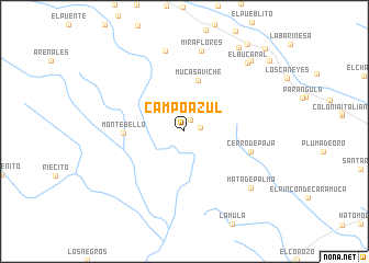
Campo Azul (Barinas, Venezuela)Campo Azul is a town in the Barinas region of Venezuela. An overview map of the region around Campo Azul is displayed below.
regional and 3d topo map of Campo Azul, Venezuela ::
Campo Azul airports ::
The nearest airport is BNS - Barinas, located 27.4 km east of Campo Azul.
Other airports nearby include VLV - Valera Dr Antonio Nicolas Briceno (73.8 km north), MRD - Merida Alberto Carnevalli (77.9 km west), GUQ - Guanare (86.3 km north east), AGV - Acarigua Oswaldo Guevara Mujica (165.2 km north east), Nearby towns ::
Los Panches (1.3km north east) //
Pagüey (1.6km east) //
Mucasaviche (5.4km north) //
Monte Bello (6.1km west) //
Cerro de Paja (7.0km east) //
Miraflores (8.3km north) //
Arenales (8.4km north) //
Mata de Palma (8.8km south east) //
El Bucaral (9.4km north east) //
La Recta (9.8km north east) //
Barinitas (10.2km north east) //
Paraparo (10.9km north east) //
Santa Marta (11.2km north east) //
Santa Clara (11.7km north east) //
[all distances 'as the bird flies' and approximate] 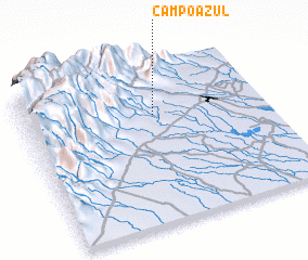 Places with similar names to Campo Azul, Venezuela ::
// Çampaşalı (TR)
// Camposolo (CO)
// Campo Zulia (CO)
// Campo Azul (MX)
// Campo Solo (VE)
// Campo Solo (VE)
// Campo Solo (VE)
// Campo Solo (VE)
// Campo Solo (VE)
// Campo Solo (VE)
Disclaimer :: Information on this page comes without warranty of any kind |
||
|
Where is Campo Azul? Elevation and coordinates ::
Latitude (lat): 8°41'6"N Longitude (lon): 70°27'39"W
Elevation (approx.): 307m (map arrows pan, magnifying glasses zoom) |
||
|
Visiting Campo Azul? Hotel/Accommodation ::
Book a hotel in Campo Azul Travel Guide ::
Buy a travel guide for Venezuela rental cars ::
car rental offers GPS waypoint ::
download a GPX waypoint (PoI) of Campo Azul for your GPS receiver
|
||