|
search place name
|
||
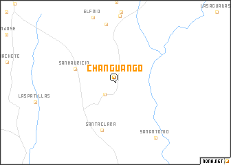
Changuango (Guárico, Venezuela)Changuango is a town in the Guárico region of Venezuela. An overview map of the region around Changuango is displayed below.
regional and 3d topo map of Changuango, Venezuela ::
Changuango airports ::
The nearest airport is VDP - Valle De La Pascua, located 83.1 km north east of Changuango.
Other airports nearby include SFD - San Fernando De Apure (143.5 km south west), AAO - Anaco (226.0 km north east), BLA - Barcelona General Jose Antonio Anzoategui Intl (249.1 km north east), VLN - Valencia Arturo Michelena Intl (249.9 km north west), Nearby towns ::
Vallecito (2.6km south west) //
San Mauricio (6.8km west) //
Santa Clara (8.0km south) //
[all distances 'as the bird flies' and approximate] 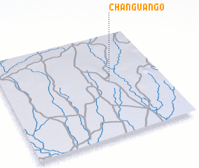 Places with similar names to Changuango, Venezuela ::
// Shangaing (MM)
// Shangaing (MM)
// Shawngni Ga (MM)
// Shinghkang (MM)
// Siang-ngo (MM)
// Shungnak (US)
// Tiankongou (BJ)
// Shangongo (CD)
// Chinganac (MX)
// Chingangu (ZM)
Disclaimer :: Information on this page comes without warranty of any kind |
||
|
Where is Changuango? Elevation and coordinates ::
Latitude (lat): 8°32'49"N Longitude (lon): 66°19'28"W
Elevation (approx.): 108m (map arrows pan, magnifying glasses zoom) |
||
|
Visiting Changuango? Hotel/Accommodation ::
Book a hotel in Changuango Travel Guide ::
Buy a travel guide for Venezuela rental cars ::
car rental offers GPS waypoint ::
download a GPX waypoint (PoI) of Changuango for your GPS receiver
|
||