|
search place name
|
||
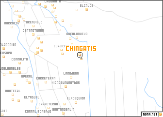
Chingatis (Portuguesa, Venezuela)Chingatis is a town in the Portuguesa region of Venezuela. An overview map of the region around Chingatis is displayed below.
regional and 3d topo map of Chingatis, Venezuela ::
Chingatis airports ::
The nearest airport is AGV - Acarigua Oswaldo Guevara Mujica, located 45.5 km north west of Chingatis.
Other airports nearby include GUQ - Guanare (85.6 km west), BRM - Barquisimeto Intl (99.5 km north west), SFH - San Felipe Sub Teniente Nestor Arias (120.5 km north), BNS - Barinas (149.6 km south west), Nearby towns ::
Cañaita (0.0km north) //
El Palmar (3.9km north west) //
El Ají (4.5km west) //
Pueblo Nuevo (4.8km north) //
La Rojeña (4.9km south west) //
El Ajicito (5.0km north west) //
Chingali (5.2km north west) //
Micro Sur Uno y Dos (7.3km south west) //
El Carretero (8.0km north) //
Micro del Este (8.1km north west) //
El Jobal (9.6km north west) //
Carretera N (9.7km south west) //
Carretera Z (10.2km north west) //
[all distances 'as the bird flies' and approximate] 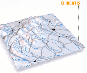 Places with similar names to Chingatis, Venezuela ::
// Chinacates (MX)
// Chinacates (MX)
// Shīn Kats (PK)
// Chuang-tzu (TW)
// Chang-ts'o (TW)
// Chang-ts'o (TW)
// Ch'eng-tzu (TW)
// Chiang-ts'o (TW)
// Chiang-ts'o (TW)
// Chiang-ts'ui (TW)
Disclaimer :: Information on this page comes without warranty of any kind |
||
|
Where is Chingatis? Elevation and coordinates ::
Latitude (lat): 9°13'0"N Longitude (lon): 69°0'0"W
Elevation (approx.): 105m (map arrows pan, magnifying glasses zoom) |
||
|
Visiting Chingatis? Hotel/Accommodation ::
Book a hotel in Chingatis Travel Guide ::
Buy a travel guide for Venezuela rental cars ::
car rental offers GPS waypoint ::
download a GPX waypoint (PoI) of Chingatis for your GPS receiver
|
||