|
search place name
|
||
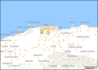
Curucutí (Estado Vargas, Venezuela)Curucutí is a town in the Estado Vargas region of Venezuela. An overview map of the region around Curucutí is displayed below.
regional and 3d topo map of Curucutí, Venezuela ::
Curucutí airports ::
The nearest airport is CCS - Caracas Simon Bolivar Intl, located 3.4 km north west of Curucutí.
Other airports nearby include VLN - Valencia Arturo Michelena Intl (115.7 km south west), PBL - Puerto Cabello General Bartolome Salom Intl (121.6 km west), VDP - Valle De La Pascua (184.6 km south east), SFH - San Felipe Sub Teniente Nestor Arias (198.7 km west), Nearby towns ::
El Corozo (0.0km north) //
El Guarapo (0.9km north west) //
Zig-Zag (1.3km south west) //
Punta Araya (1.5km south east) //
Pedro Garcia (1.7km west) //
El Copey (1.9km south) //
Mañonga (1.9km north) //
El Oasis (1.9km west) //
El Mamonal (2.2km south west) //
Río Grande (2.2km east) //
Las Pailas (2.4km west) //
Maiquetía (2.6km north east) //
El Onoto (2.7km south west) //
San José (2.8km east) //
Corozal (2.9km south east) //
Mare (2.9km north) //
Guaracarumbo (3.1km south west) //
El Guarapo (3.1km east) //
La Horquilla (3.4km west) //
San Juan de Dios (3.6km east) //
Chacón (3.9km east) //
Las Llamadas (4.1km south west) //
Boquerón (4.1km south west) //
La Trinchera (4.1km south west) //
Guayabal (4.1km south east) //
Castillo (4.1km south east) //
Hacienda Perico (4.1km south east) //
La Guaira (4.1km north east) //
Gato Negro (4.1km south east) //
[all distances 'as the bird flies' and approximate]  Places with similar names to Curucutí, Venezuela ::
Disclaimer :: Information on this page comes without warranty of any kind |
||
|
Where is Curucutí? Elevation and coordinates ::
Latitude (lat): 10°35'0"N Longitude (lon): 66°58'0"W
Elevation (approx.): 438m (map arrows pan, magnifying glasses zoom) |
||
|
Visiting Curucutí? Hotel/Accommodation ::
Book a hotel in Curucutí Travel Guide ::
Buy a travel guide for Venezuela rental cars ::
car rental offers GPS waypoint ::
download a GPX waypoint (PoI) of Curucutí for your GPS receiver
|
||