|
search place name
|
||
El Mosquero (Delta Amacuro, Venezuela)El Mosquero is a town in the Delta Amacuro region of Venezuela. An overview map of the region around El Mosquero is displayed below.
regional and 3d topo map of El Mosquero, Venezuela ::

El Mosquero airports ::
The nearest airport is TUV - Tucupita, located 54.5 km north west of El Mosquero.
Other airports nearby include PZO - Guayana General Manuel Carlos Piar (117.8 km south west), MUN - Maturin (189.9 km north west), CBL - Ciudad Bolivar (204.4 km west), POS - Port-of-spain Piarco (214.1 km north), Nearby towns ::
[all distances 'as the bird flies' and approximate] 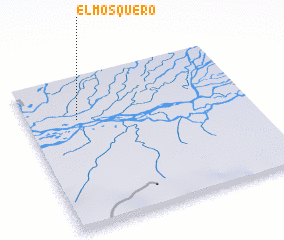 Places with similar names to El Mosquero, Venezuela ::
// Elm Square (US)
// El Maouzkir (MA)
Disclaimer :: Information on this page comes without warranty of any kind |
||
|
Where is El Mosquero? Elevation and coordinates ::
Latitude (lat): 8°42'35"N Longitude (lon): 61°46'40"W
Elevation (approx.): 6m (map arrows pan, magnifying glasses zoom) |
||
|
Visiting El Mosquero? Hotel/Accommodation ::
Book a hotel in El Mosquero Travel Guide ::
Buy a travel guide for Venezuela rental cars ::
car rental offers GPS waypoint ::
download a GPX waypoint (PoI) of El Mosquero for your GPS receiver
|
||