|
search place name
|
||
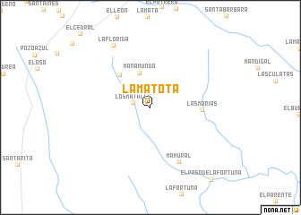
La Matota (Bolívar, Venezuela)La Matota is a town in the Bolívar region of Venezuela. An overview map of the region around La Matota is displayed below.
regional and 3d topo map of La Matota, Venezuela ::
La Matota airports ::
The nearest airport is CBL - Ciudad Bolivar, located 105.8 km north of La Matota.
Other airports nearby include CAJ - Canaima (116.5 km south), PZO - Guayana General Manuel Carlos Piar (129.8 km north east), SOM - San Tome (216.4 km north west), TUV - Tucupita (242.5 km north east), Nearby towns ::
Los Matales (2.2km west) //
Manamundo (4.5km north) //
El Tigre (5.5km north west) //
Las Marías (6.4km east) //
Mamural (7.7km south east) //
La Florida (8.9km north west) //
[all distances 'as the bird flies' and approximate] 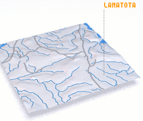 Places with similar names to La Matota, Venezuela ::
Disclaimer :: Information on this page comes without warranty of any kind |
||
|
Where is La Matota? Elevation and coordinates ::
Latitude (lat): 7°12'52"N Longitude (lon): 63°14'6"W
Elevation (approx.): 310m (map arrows pan, magnifying glasses zoom) |
||
|
Visiting La Matota? Hotel/Accommodation ::
Book a hotel in La Matota Travel Guide ::
Buy a travel guide for Venezuela rental cars ::
car rental offers GPS waypoint ::
download a GPX waypoint (PoI) of La Matota for your GPS receiver
|
||