|
search place name
|
||
Las Pachas (Cojedes, Venezuela)Las Pachas is a town in the Cojedes region of Venezuela. An overview map of the region around Las Pachas is displayed below.
regional and 3d topo map of Las Pachas, Venezuela ::

Las Pachas airports ::
The nearest airport is SFH - San Felipe Sub Teniente Nestor Arias, located 60.9 km north of Las Pachas.
Other airports nearby include AGV - Acarigua Oswaldo Guevara Mujica (79.1 km west), VLN - Valencia Arturo Michelena Intl (80.3 km north east), BRM - Barquisimeto Intl (93.8 km west), PBL - Puerto Cabello General Bartolome Salom Intl (94.7 km north east), Nearby towns ::
Portachuelo del Mamón (1.3km north) //
Las Marchas (1.9km north) //
Macias (2.3km north east) //
Quebradón (2.6km south west) //
La Hondonada (3.0km south east) //
Macanillas (3.2km north west) //
Mango Redondo (3.3km south east) //
Valle Hondo (3.4km south west) //
Los Tanques (4.1km south east) //
La Palma (4.3km south) //
Cariaquito (4.7km north east) //
Cigarrón (5.4km north west) //
Potrero Largo (5.5km east) //
El Junquito (5.7km south) //
Las Llamadas (5.8km east) //
La Amarilla (5.9km south) //
El Pilón (5.9km south) //
La Titiara (5.9km south) //
Manrique (5.9km north east) //
Los Castores (5.9km north east) //
Mampostal (6.0km west) //
Quebrada Abajo (6.1km north) //
Los Tanques (6.5km east) //
Pedregal (6.6km north east) //
Trapiche (6.6km north west) //
Punta Brava (6.6km north east) //
Solano (6.9km west) //
Las Turcas (7.0km north west) //
Palmero (7.1km south west) //
[all distances 'as the bird flies' and approximate] 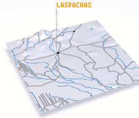 Places with similar names to Las Pachas, Venezuela ::
// Los Puchos (ES)
// Los Patios (CO)
// Los Pechos (CO)
// Las Piochas (MX)
// Las Piochas (MX)
// Los Patios (MX)
// Los Patios (MX)
// Los Patios (HN)
// Los Patios (HN)
// Los Patios (HN)
Disclaimer :: Information on this page comes without warranty of any kind |
||
|
Where is Las Pachas? Elevation and coordinates ::
Latitude (lat): 9°46'0"N Longitude (lon): 68°33'0"W
Elevation (approx.): 368m (map arrows pan, magnifying glasses zoom) |
||
|
Visiting Las Pachas? Hotel/Accommodation ::
Book a hotel in Las Pachas Travel Guide ::
Buy a travel guide for Venezuela rental cars ::
car rental offers GPS waypoint ::
download a GPX waypoint (PoI) of Las Pachas for your GPS receiver
|
||