|
search place name
|
||
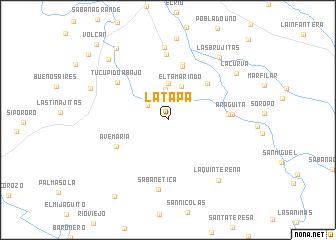
La Tapa (Portuguesa, Venezuela)La Tapa is a town in the Portuguesa region of Venezuela. An overview map of the region around La Tapa is displayed below.
regional and 3d topo map of La Tapa, Venezuela ::
La Tapa airports ::
The nearest airport is GUQ - Guanare, located 14.9 km north of La Tapa.
Other airports nearby include BNS - Barinas (57.1 km south west), AGV - Acarigua Oswaldo Guevara Mujica (94.2 km north east), VLV - Valera Dr Antonio Nicolas Briceno (101.1 km north west), BRM - Barquisimeto Intl (135.2 km north), Nearby towns ::
La Cañada (2.7km north west) //
Barrancones (3.4km north) //
El Tamarindo (4.0km north) //
Capure (4.1km north) //
El Cajinate (5.9km north east) //
Vega del Brazo (6.2km north) //
Aparición de La Coromoto (6.4km north) //
Ave Maria (6.4km south west) //
Guerrilandia (6.7km east) //
Tucupido Abajo (7.0km north west) //
Aragüita (7.1km east) //
Quebrada de La Virgen (7.3km north) //
Sabanetica (7.8km south) //
La Alcantarilla (8.1km north) //
La Quintereña (8.7km south east) //
Las Brujitas (9.0km north east) //
La Curva (9.2km north east) //
Bella Vista (9.3km west) //
Tucupido (9.4km north west) //
El Botalón (9.8km north west) //
Sabana Redonda (10.3km south west) //
Romereña (11.4km north west) //
Volcán (11.6km north west) //
[all distances 'as the bird flies' and approximate] 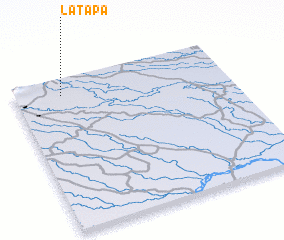 Places with similar names to La Tapa, Venezuela ::
Disclaimer :: Information on this page comes without warranty of any kind |
||
|
Where is La Tapa? Elevation and coordinates ::
Latitude (lat): 8°53'41"N Longitude (lon): 69°46'53"W
Elevation (approx.): 134m (map arrows pan, magnifying glasses zoom) |
||
|
Visiting La Tapa? Hotel/Accommodation ::
Book a hotel in La Tapa Travel Guide ::
Buy a travel guide for Venezuela rental cars ::
car rental offers GPS waypoint ::
download a GPX waypoint (PoI) of La Tapa for your GPS receiver
|
||