|
search place name
|
||
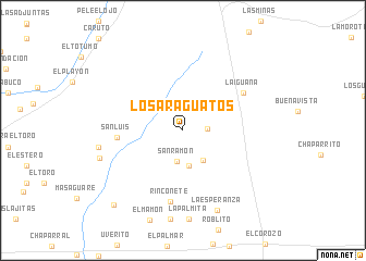
Los Araguatos (Aragua, Venezuela)Los Araguatos is a town in the Aragua region of Venezuela. An overview map of the region around Los Araguatos is displayed below.
regional and 3d topo map of Los Araguatos, Venezuela ::
Los Araguatos airports ::
The nearest airport is VDP - Valle De La Pascua, located 90.8 km east of Los Araguatos.
Other airports nearby include CCS - Caracas Simon Bolivar Intl (124.5 km north), VLN - Valencia Arturo Michelena Intl (145.8 km north west), PBL - Puerto Cabello General Bartolome Salom Intl (179.2 km north west), SFD - San Fernando De Apure (193.4 km south), Nearby towns ::
Los Patos (2.4km east) //
San Ramón (3.2km south) //
Las Patillas (3.6km south) //
Cujicito (3.7km south east) //
San Luis (6.7km west) //
La Iguana (7.2km north east) //
Rinconete (7.4km south) //
El Buchal (8.7km west) //
La Esperanza (8.9km south east) //
Quintero (8.9km west) //
Los Rastrojos (10.3km south west) //
[all distances 'as the bird flies' and approximate] 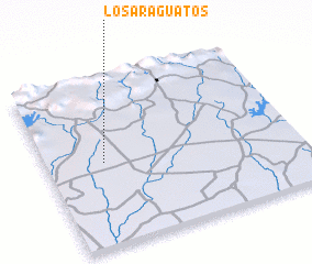 Places with similar names to Los Araguatos, Venezuela ::
// Los Regadíos (GT)
// Los Regadíos (GT)
// Los Arquitos (MX)
// Los Arquitos (MX)
// Los Arquitos (MX)
// Los Arquitos (MX)
// Los Arquitos (MX)
// Los Surquitos (HN)
// Las Araguatas (VE)
// Los Araguatos (VE)
Disclaimer :: Information on this page comes without warranty of any kind |
||
|
Where is Los Araguatos? Elevation and coordinates ::
Latitude (lat): 9°29'56"N Longitude (lon): 66°46'20"W
Elevation (approx.): 243m (map arrows pan, magnifying glasses zoom) |
||
|
Visiting Los Araguatos? Hotel/Accommodation ::
Book a hotel in Los Araguatos Travel Guide ::
Buy a travel guide for Venezuela rental cars ::
car rental offers GPS waypoint ::
download a GPX waypoint (PoI) of Los Araguatos for your GPS receiver
|
||