|
search place name
|
||
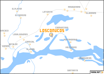
Los Conucos (Anzoátegui, Venezuela)Los Conucos is a town in the Anzoátegui region of Venezuela. An overview map of the region around Los Conucos is displayed below.
regional and 3d topo map of Los Conucos, Venezuela ::
Los Conucos airports ::
The nearest airport is PZO - Guayana General Manuel Carlos Piar, located 42.0 km east of Los Conucos.
Other airports nearby include CBL - Ciudad Bolivar (52.1 km south west), SOM - San Tome (129.0 km north west), TUV - Tucupita (139.5 km north east), MUN - Maturin (152.9 km north), Nearby towns ::
Corrientoso (4.3km north east) //
Punta Morada (6.8km east) //
La Tigrita (8.3km north) //
Volcanero (8.3km south east) //
Carrizal (8.3km west) //
El Jobal (9.2km south west) //
[all distances 'as the bird flies' and approximate] 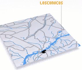 Places with similar names to Los Conucos, Venezuela ::
// Los Chenques (CL)
// Los Guanacos (CL)
// Los Chancos (CO)
// Los Congos (CO)
// Las Chinacas (MX)
// Las Chinacas (MX)
// Las Chinacas (MX)
// Las Cuencas (MX)
// Los Conucos (VE)
// Los Conucos (VE)
Disclaimer :: Information on this page comes without warranty of any kind |
||
|
Where is Los Conucos? Elevation and coordinates ::
Latitude (lat): 8°22'0"N Longitude (lon): 63°8'0"W
Elevation (approx.): 16m (map arrows pan, magnifying glasses zoom) |
||
|
Visiting Los Conucos? Hotel/Accommodation ::
Book a hotel in Los Conucos Travel Guide ::
Buy a travel guide for Venezuela rental cars ::
car rental offers GPS waypoint ::
download a GPX waypoint (PoI) of Los Conucos for your GPS receiver
|
||