|
search place name
|
||
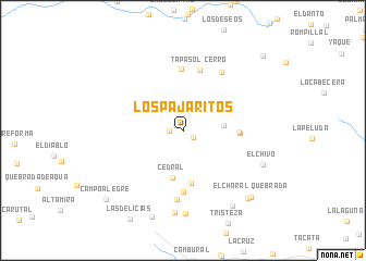
Los Pajaritos (Anzoátegui, Venezuela)Los Pajaritos is a town in the Anzoátegui region of Venezuela. An overview map of the region around Los Pajaritos is displayed below.
regional and 3d topo map of Los Pajaritos, Venezuela ::
Los Pajaritos airports ::
The nearest airport is CUM - Cumana Antonio Jose De Sucre, located 42.8 km north of Los Pajaritos.
Other airports nearby include BLA - Barcelona General Jose Antonio Anzoategui Intl (65.5 km west), AAO - Anaco (81.5 km south west), PMV - Porlamar Del Caribe Intl Gen Santiago Marino (94.8 km north), MUN - Maturin (108.8 km east), Nearby towns ::
Chadare (0.9km north west) //
El Jardín (1.3km south east) //
El Blanco (1.3km west) //
Amana (4.2km east) //
Cedral (4.9km south) //
Alto Barrieño (5.4km south) //
La Culebra (5.7km east) //
La Culebra (5.8km east) //
Mata Redonda (6.3km south) //
Alto Pele El Ojo (6.4km north) //
Cerro Tapasol (6.4km north) //
Monte Cenizo (7.1km south) //
Las Culatas (7.1km north east) //
Naranjal (8.4km south) //
El Bucare (8.5km south) //
El Chivo (8.8km south east) //
El Arenal (9.3km south east) //
La Piedra (9.4km south) //
Chaguaramas (9.6km south east) //
Quebrada El Charal (9.8km south east) //
Campo Alegre (10.5km south west) //
Neveri de las Cabeceras (11.1km north east) //
[all distances 'as the bird flies' and approximate] 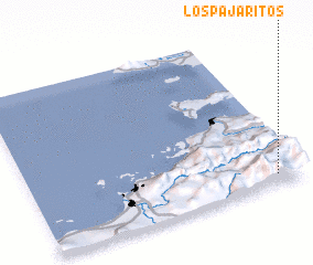 Places with similar names to Los Pajaritos, Venezuela ::
// Los Pajaritos (HN)
Disclaimer :: Information on this page comes without warranty of any kind |
||
|
Where is Los Pajaritos? Elevation and coordinates ::
Latitude (lat): 10°3'54"N Longitude (lon): 64°5'36"W
Elevation (approx.): 1241m (map arrows pan, magnifying glasses zoom) |
||
|
Visiting Los Pajaritos? Hotel/Accommodation ::
Book a hotel in Los Pajaritos Travel Guide ::
Buy a travel guide for Venezuela rental cars ::
car rental offers GPS waypoint ::
download a GPX waypoint (PoI) of Los Pajaritos for your GPS receiver
|
||