|
search place name
|
||
Los Potreritos (Lara, Venezuela)Los Potreritos is a town in the Lara region of Venezuela. An overview map of the region around Los Potreritos is displayed below.
regional and 3d topo map of Los Potreritos, Venezuela ::

Los Potreritos airports ::
The nearest airport is VLV - Valera Dr Antonio Nicolas Briceno, located 77.7 km south of Los Potreritos.
Other airports nearby include BRM - Barquisimeto Intl (118.5 km east), GUQ - Guanare (133.8 km south east), AGV - Acarigua Oswaldo Guevara Mujica (141.9 km east), MAR - Maracaibo La Chinita Intl (152.8 km north west), Nearby towns ::
Agua Blanca (4.1km north east) //
El Tablón (5.5km north) //
Las Playitas (6.3km north) //
La Ceiba (6.6km north) //
La Cordera (6.6km south east) //
El Aceituno (6.9km south east) //
El Aceituno (6.9km south east) //
Aceituno (7.3km south) //
Peña (7.4km west) //
Puricaure (7.5km north) //
Santa María (7.6km north) //
Las Cruces (8.2km west) //
La Barbara (8.2km south east) //
Pozo Dulce (8.5km west) //
El Jobo (8.7km north west) //
Río Toño (8.6km west) //
Camoruco (8.9km north west) //
Zirumita (10.0km north west) //
[all distances 'as the bird flies' and approximate] 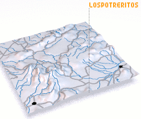 Places with similar names to Los Potreritos, Venezuela ::
// Los Potreritos (PA)
// Los Potreritos (MX)
// Los Potreritos (VE)
// Los Potreritos (VE)
// Los Potreritos (VE)
Disclaimer :: Information on this page comes without warranty of any kind |
||
|
Where is Los Potreritos? Elevation and coordinates ::
Latitude (lat): 10°1'42"N Longitude (lon): 70°26'22"W
Elevation (approx.): 592m (map arrows pan, magnifying glasses zoom) |
||
|
Visiting Los Potreritos? Hotel/Accommodation ::
Book a hotel in Los Potreritos Travel Guide ::
Buy a travel guide for Venezuela rental cars ::
car rental offers GPS waypoint ::
download a GPX waypoint (PoI) of Los Potreritos for your GPS receiver
|
||